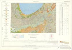
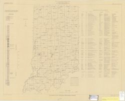
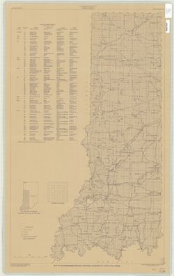
Includes generalized columnar section, "Sectionized township," and index of producers of clay and clay products. "Base modified from U.S. Geol...
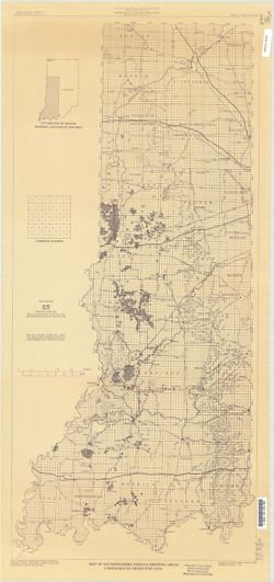
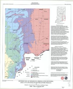
"This map data was compiled in 1997 from information available at the time, but was unpublished until until 2002, the map does not reflect any changes i...
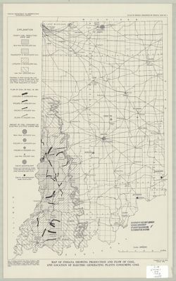
Topical Subject: Coal mines and mining and Geographic Subject: Indiana
Creator:
Hutchison, Harold C. (Harold Christy), 1925-
Publisher:
Indiana. Geological Survey
Date Created:
1974
Identifier:
VAC3073-M-00711
Genre:
Thematic maps and Mine maps
Geographic Location:
Coordinates: W0880100 W0862800 N0403900 N0374500
Related URL:
Catalog URL: https://iucat.iu.edu/catalog/5046466
Abstract:
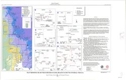
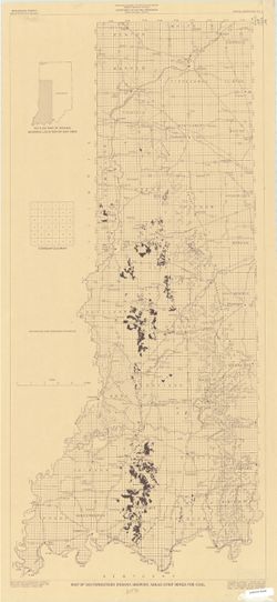
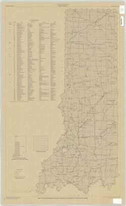
Blue line print. "Base modified from Indiana Department of Conservation, Geological Survey. Base map of portion of western Indiana, 1951." Includes...
Topical Subject: Coal mines and mining and Geographic Subject: Indiana
Creator:
Hutchison, Harold C. (Harold Christy), 1925-
Publisher:
Indiana. Geological Survey
Date Created:
1975
Identifier:
VAC3073-M-00704
Genre:
Mine maps
Geographic Location:
Coordinates: W0872723 W0862628 N0403749 N0374618
Related URL:
Catalog URL: https://iucat.iu.edu/catalog/5050615
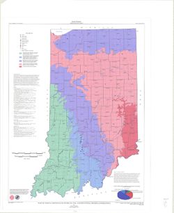
Abstract:
Blue line print. "Base modified from Indiana Department of Conservation, Geological Survey, Base map of portion of western Indiana, 1951." Includes...