Indiana University
Indiana University
IU
Skip to Content
Digital Collections
Toggle navigation
Digital
Collections
Switch language
English
Switch language
Deutsch
English
Español
Français
Italiano
Português do Brasil
中文
Login
Home
About
Contact
Search Digital Collections
Go
×
Search Constraints
Start Over
You searched for:
Type
Image
Remove constraint Type: Image
Publisher
Geological Survey (U.S.)
Remove constraint Publisher: Geological Survey (U.S.)
« Previous
|
41
-
50
of
159
|
Next »
Sort by relevance ▼
relevance ▼
recently updated
title ▲
title ▼
date created ▲
date created ▼
pages ▲
pages ▼
collection size ▲
collection size ▼
Number of results to display per page
10 per page
10
per page
20
per page
50
per page
100
per page
View results as:
List
Gallery
Masonry
Search Results
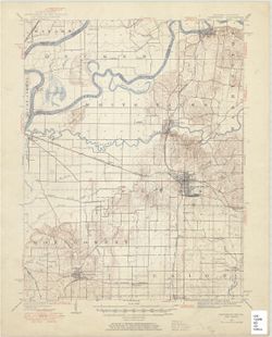
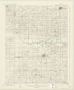
Indiana-Illinois Princeton quadrangle [1954 reprint without vegetation]
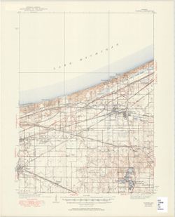
Indiana Porter quadrangle [1950 reprint]
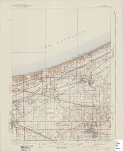
Indiana Porter quadrangle [1940 printing]
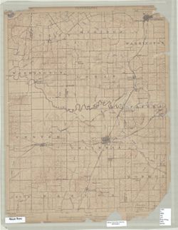
Indiana Petersburg quadrangle [1903 printing]
Indiana Petersburg quadrangle [1932 reprint]
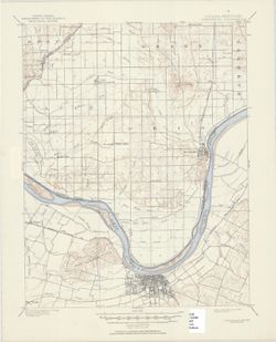
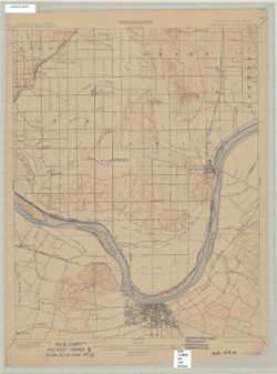
Indiana-Kentucky Owensboro quadrangle [1950 reprint]
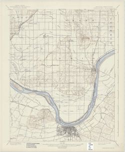
Indiana-Kentucky Owensboro quadrangle [1939 reprint]
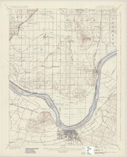
Indiana-Kentucky Owensboro quadrangle [1925 reprint]
Indiana-Kentucky Owensboro quadrangle [1912 reprint]
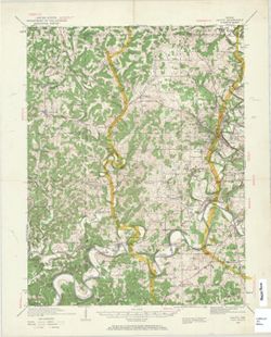
Indiana Oolitic quadrangle : 15-minute series [1960 reprint with vegetation]
« Previous
Next »
1
2
3
4
5
6
7
8
9
…
15
16
Toggle facets
Limit your search
Type
Image
[remove]
159
Creator
Geological Survey (U.S.)
131
Renshawe, John H.
45
Hawkins, Geo. T. (George T.)
37
Goodlove, C. W.
31
Herron, W. H. (William Harrison), 1865-
27
Marshall, R. B. (Robert Bradford), 1867-1949
24
Illinois State Geological Survey
20
McKinney, R. C. (Robert C.)
18
United States. Army. Corps of Engineers
18
U.S. Coast and Geodetic Survey
14
more
Creators
»
Subject
Geographic Subject: Gibson County (Ind.)
35
Topical Subject: Vegetation mapping
30
Geographic Subject: Knox County (Ind.)
23
Geographic Subject: Wabash County (Ill.)
22
Geographic Subject: Posey County (Ind.)
20
Geographic Subject: Lake County (Ind.)
14
Geographic Subject: Monroe County (Ind.)
14
Geographic Subject: Spencer County (Ind.)
14
Geographic Subject: Vanderburgh County (Ind.)
13
Geographic Subject: Warrick County (Ind.)
13
more
Subjects
»
Publisher
Geological Survey (U.S.)
[remove]
159
Date Created
1950
9
1903
7
1959
7
1970
7
1988
7
1925
6
1946
6
1964
6
1936
5
1939
5
more
Date Createds
»
Pages
0-99 pages
159
Collections
Indiana Historic Maps
159
State
deposited
159
Campus
IUB
159
Holding Location
B-WELLS
159
Provenance
Part of Geological Survey (U.S.). Indiana 1:62,500.
119
United States Department of the Interior, Geological Survey. Map of flood-prone areas : [Indiana]. Washington, D.C. : The Survey, 1969-.
12
The National gazetteer of the United States of America--Indiana, 1988 / U.S. Geological Survey.
6
Part of Geological Survey (U.S.). Indiana 1:125,000.
4
14th Annual Report (1884) / Indiana. Department of Geology and Natural History.
1
Map of Flood-Prone Areas: Middletown Quadrangle, Indiana.
1
Map of the Western parts of the Colony of Virginia as far as the Mississipi.
1
USGS 15 minute series (topographic)
1