Search Constraints
You searched for:
Campus
IUB
Remove constraint Campus: IUB
Type
Image
Remove constraint Type: Image
Pages
0-99 pages
Remove constraint Pages: 0-99 pages

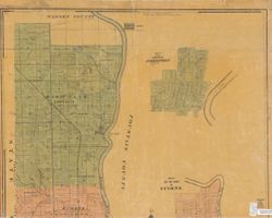
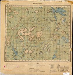
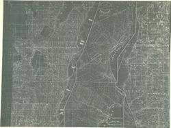
![Bloomington, [Indiana] metropolitan map series](https://iiif.uits.iu.edu/iiif/2/vd66x2473%2Ffiles%2F73a8eae4-4788-4585-b937-b6e45ec91e24/full/250,/0/default.jpg)
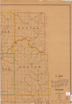
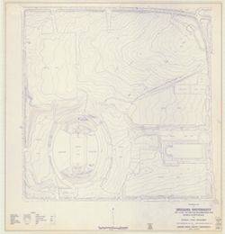
![Map of the City of Indianapolis and its suburbs [map]](https://iiif.uits.iu.edu/iiif/2/v692v943f%2Ffiles%2Fcb6898c0-54f1-4245-b5e2-96cd8bf1b867/full/250,/0/default.jpg)
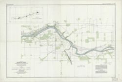
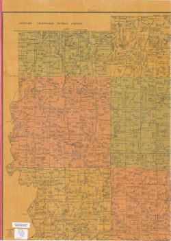
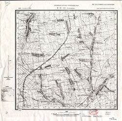
![[Bloomington, Indiana, cadastral map]](https://iiif.uits.iu.edu/iiif/2/0r9686792%2Ffiles%2F47529974-267a-4ca2-bcce-8ead7355fbf3/full/250,/0/default.jpg)
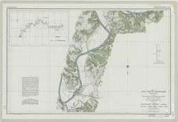
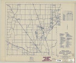
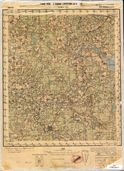
![Marion County, Indiana [map] : [aerial photographs, 1 inch=100 feet]](https://iiif.uits.iu.edu/iiif/2/8g84np70q%2Ffiles%2F87c92dbf-3c08-4afb-9aa5-654d83642274/full/250,/0/default.jpg)