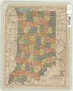
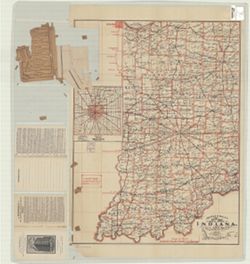
Relief shown by hachures. Includes index to cities and towns, with population, in left margin and index to railroads. On verso: index to Indiana counties, cr...
Topical Subject: Roads and Geographic Subject: Indiana
Creator:
Rand McNally and Company
Publisher:
Rand McNally and Company
Date Created:
1930
Identifier:
VAC3073-M-00774
Genre:
Road maps
Geographic Location:
Coordinates: W0880500 W0844700 N0414500 N0374600
Related URL:
Catalog URL: https://iucat.iu.edu/catalog/5273354
Abstract:
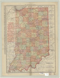
Includes "Index to cities & towns with populations." "Cities Service mileage chart" and "Cities Service road map North-Central S...
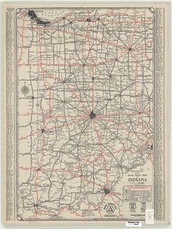
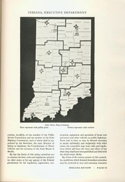
Shows Indiana state police posts and radio stations WPHS, WQFW, WPHE, WQFE, and WPHU. At head of map: "Executive Department." Appears in Indiana...
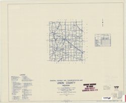
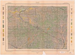
Topical Subject: Roads and Geographic Subject: Adams County (Ind.)
Creator:
Indiana. State Highway Commission (1919-1953)
Publisher:
Indiana. State Highway Commission (1919-1953)
Date Created:
1941
Identifier:
VAC3073-M-00767
Genre:
Road maps
Geographic Location:
Coordinates: W0850400 W0844800 N0405500 N0403400
Related URL:
Catalog URL: https://iucat.iu.edu/catalog/5726499
Abstract:
Blue line print. "Corrected to May 1, 1941." "Data obtained from State-wide Highway Planning Survey." Includes location map and charts &q...

![Clark County [Indiana] land use map](https://iiif.uits.iu.edu/iiif/2/0p097b31w%2Ffiles%2F05b32dea-49f5-4006-84cd-ba5a5f21b5fb/full/250,/0/default.jpg)
