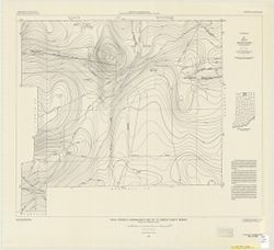
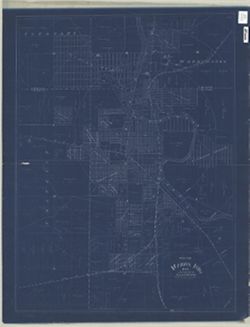
Filing title: Union City, Ind.-Ohio. Relief shown by contours and spot heights. Contour interval 10 feet. Includes quadrangle location map. Shows portions of...
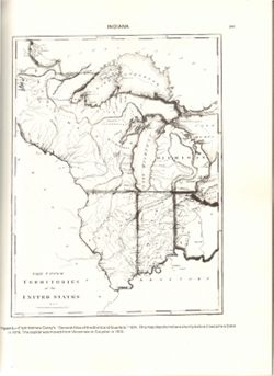
Relief shown by hachures. Prime meridians: London and Philadelphia. Reprint of: The Upper territories of the United States. In General atlas of the world and...
Call Number:
QH75 .A4 No. 1200-IN
Caption:
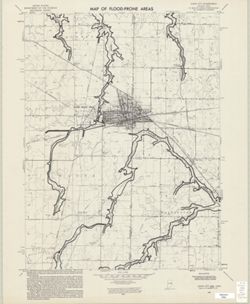
Imprint: [Reston, Va.] : [The Survey], [1988]
Physical Description:
Dimensions: 29 cm or less and Scale: Indeterminable
Alternate Identifier:
Title Control Number: a18416533 and Alternate ID: 358171IP
Geographic Subject: Indianapolis Region (Ind.), Geographic Subject: Marion County (Ind.), Geographic Subject: Indiana, and Topical Subject: Election districts
Publisher:
Indiana University, Bloomington. Department of Geography
Date Created:
1972
Identifier:
VAC3073-M-00314
Genre:
Thematic maps
Geographic Location:
Coordinates: W0880500 W0844700 N0414500 N0374600
Related URL:
Catalog URL: https://iucat.iu.edu/catalog/1025068
Abstract:
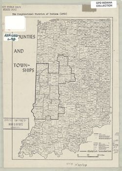
Boundaries of 7th Congressional District of Indiana in 1972 drawn on a copy of "Counties and townships" map, p. 10 of Kingsbury, Robert C., An atla...
Call Number:
G4091 .F7 1972 .S4
Caption:
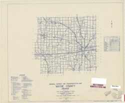
Imprint: [Indiana] : [Department of Geography, Indiana University], [1970]
Physical Description:
Scale: Approximately 1:825,000 and Dimensions: 25 x 18 cm
Alternate Identifier:
Title Control Number: a16178039 and Alternate ID: AJF1250BB
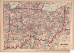
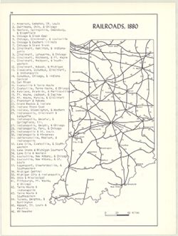
Includes index of railroads. Detached from: An atlas of Indiana / by Robert C. Kingsbury , with contributions from John M. Hollingsworth and others. Bloom...
Call Number:
G4091.P3 1880 .K56
Caption:
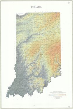
Imprint: Bloomington, Indiana : Department of Geography, Indiana University, [1970]
Physical Description:
Scale: Approximately 1:2,300,000 and Dimensions: 26 x 18 cm, on sheet 28 x 21 cm
Alternate Identifier:
Title Control Number: a15934621 and Alternate ID: 317383IP