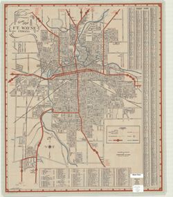
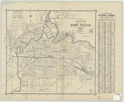
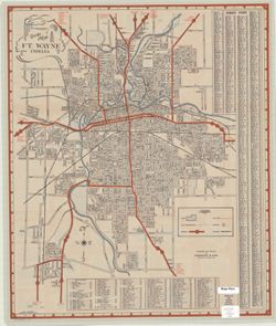
Basically black and white but with parks indicated in blue, city transportation lines in blue, highways in broad red lines, city limits in dashed red lines. ...
Call Number:
G4094.F7 1946 .S5
Caption:
Imprint: Fort Wayne, Indiana: Shockney & Kain. 1946.
Physical Description:
Dimensions: 65 x 55 cm, on sheet 67 x 56 cm and Scale: Scale not given.
Topical Subject: Aerial views and Geographic Subject: Fort Wayne (Ind.)
Creator:
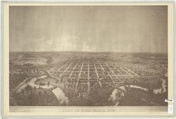
Palmatary, J. T. (James T.)
Publisher:
Allen County-Fort Wayne Historical Society
Date Created:
1981
Identifier:
VAC3073-M-00951
Genre:
Aerial views and Pictorial maps
Geographic Location:
Coordinates: W0851811 W0845955 N0411159 N0405755
Related URL:
Catalog URL: https://iucat.iu.edu/catalog/4896240
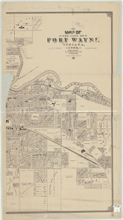
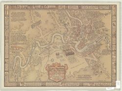
Abstract:
Bird's eye view. Facsimile. Left and right sides of original cut off creating the following texts: "lished by J.T. Palmatary" and "Drawn ...
Call Number:
G4094 .F7 A3 1857 .P35 1981
Caption:
Imprint: [Fort Wayne, Ind.?] : Allen County-Fort Wayne Historical Society, 1981.
Physical Description:
Scale: Scale not given. and Dimensions: 51 x 84 cm, on sheet 59 x 89 cm
Geographic Subject: Fort Wayne (Ind.) and Topical Subject: History
Creator:
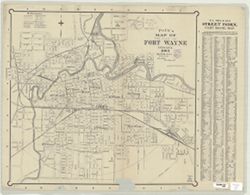
Brainard, Noble E.
Publisher:
News-Sentinel
Date Created:
1989
Identifier:
VAC3073-M-00115
Genre:
Thematic maps and Pictorial maps
Geographic Location:
Coordinates: W0851811 W0845955 N0411159 N0405755
Related URL:
Catalog URL: https://iucat.iu.edu/catalog/4965612
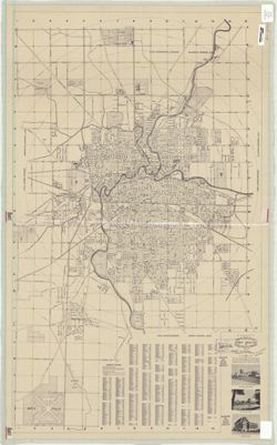
Abstract:
"The area included on the map is about 2 1/2 miles from east to west & 1 7/8 miles north to south." Includes illustrations and text on the map ...