
Image
1956 state highway system of Indiana Public Deposited
- Genre
- Road maps
- Location
- Coordinates: W0880500 W0844700 N0414500 N0374600
- Related URL
- Abstract
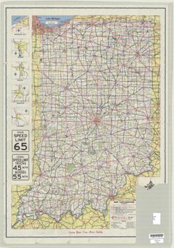
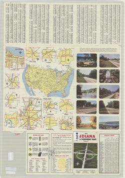
- Panel title: 1956 Indiana official highway map. Relief shown by spot heights. Includes 5 local route maps and illustrations. Index, distance chart, distance map, text, indexed chart of state parks, state police directory, 12 local route maps, and color illustrations on verso. B-WELLS copy imperfect: Primary source of information with title, statement of responsibility, and scale torn from map.
- Call Number
- G1403 .S7 1956
- Caption
- Imprint: [Indianapolis] : State Highway Department, [1956]
- Filename
- VAC3073-M-01220
- Subject
- Geographic Subject: Indiana
- Topical Subject: Roads
- Title
- 1956 state highway system of Indiana
- Producer
- Indiana. State Highway Department
- Physical Description
- Scale: Approximately 1:633,600
- Dimensions: 94 x 59 cm
- Item Identifiers
- Title Control Number: a18406080
- Persistent Identifier
- Campus
- IU Bloomington
- Date Created
- 1956
- Provenance
- Indiana state highway system
- Publisher
- Indiana. State Highway Department
Relationships
Relationships
- In Collection:
Items
Show Item Images
| Thumbnail | Title | Date Uploaded | Visibility | Actions |
|---|---|---|---|---|
|
VAC3073-M-01220.jp2 | 2023-09-27 | Public |
|
|
VAC3073-00574.jp2 | 2023-09-27 | Public |
|