Search Constraints
You searched for:
Date Created
1931
Remove constraint Date Created: 1931
Holding Location
B-WELLS
Remove constraint Holding Location: B-WELLS
Subject
Geographic Subject: Indiana
Remove constraint Subject: Geographic Subject: Indiana

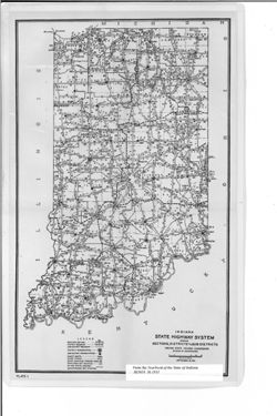
![State Highway System of Indiana [1930]](https://iiif.uits.iu.edu/iiif/2/vm40zt77x%2Ffiles%2F4203141a-930a-421f-920d-fb7afd4bb3ed/full/250,/0/default.jpg)