Bloomington - Indiana Geological and Water Survey Geology Building 1001 E. 10th St. Bloomington, IN 47405 Contact at igwsinfo@indiana.edu, 812-855-7636
Bloomington - Indiana Geological and Water Survey Geology Building 1001 E. 10th St. Bloomington, IN 47405 Contact at igwsinfo@indiana.edu, 812-855-7636
Bloomington - Indiana Geological and Water Survey Geology Building 1001 E. 10th St. Bloomington, IN 47405 Contact at igwsinfo@indiana.edu, 812-855-7636
Bloomington - Indiana Geological and Water Survey Geology Building 1001 E. 10th St. Bloomington, IN 47405 Contact at igwsinfo@indiana.edu, 812-855-7636
Bloomington - Indiana Geological and Water Survey Geology Building 1001 E. 10th St. Bloomington, IN 47405 Contact at igwsinfo@indiana.edu, 812-855-7636
Bloomington - Indiana Geological and Water Survey Geology Building 1001 E. 10th St. Bloomington, IN 47405 Contact at igwsinfo@indiana.edu, 812-855-7636
Bloomington - Indiana Geological and Water Survey Geology Building 1001 E. 10th St. Bloomington, IN 47405 Contact at igwsinfo@indiana.edu, 812-855-7636
Bloomington - Indiana Geological and Water Survey Geology Building 1001 E. 10th St. Bloomington, IN 47405 Contact at igwsinfo@indiana.edu, 812-855-7636
Bloomington - Indiana Geological and Water Survey Geology Building 1001 E. 10th St. Bloomington, IN 47405 Contact at igwsinfo@indiana.edu, 812-855-7636
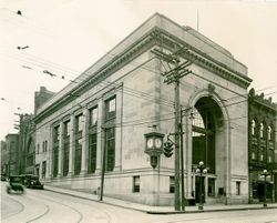
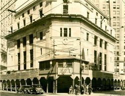
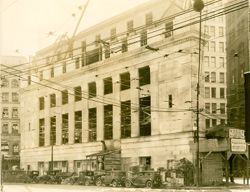
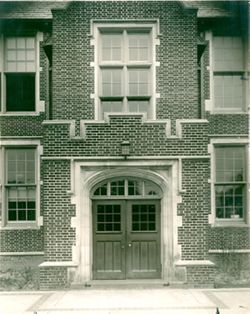
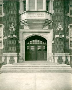
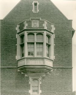
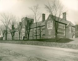
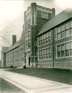
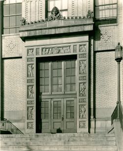
Schools, Doors & doorways, Details, and Stone carving
Creador:
Lee, Edward B.
Fecha de Creacion:
1929
Identificador:
VAC5094-04241
Geographic Location:
Coordinates: 40.444201, -79.988620 and Street Address: 1435 Bedford Ave
Call Number:
PA9568
Caption:
Photographer/Studio: Hall & Williams, General Contractor: J. G. Fullman, Cut Stone Contractor: Indiana Limestone Co. - Group #2, and Date of Photograph: ...
City:
Pittsburgh
State/Province:
PA
Physical Description:
Kind of Stone: Standard Gray and Quantity (cu. ft) and Finish: 14,500
Bloomington - Indiana Geological and Water Survey Geology Building 1001 E. 10th St. Bloomington, IN 47405 Contact at igwsinfo@indiana.edu, 812-855-7636