Indiana University
Indiana University
IU
Skip to Content
Digital Collections
Toggle navigation
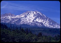
Digital
Collections
Switch language
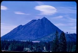
English
Switch language
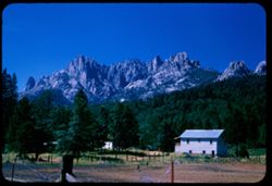
Deutsch
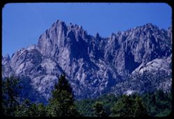
English
Español
Français
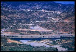
Italiano
Português do Brasil
中文
Login
Home
About
Contact
Search Digital Collections
Go
×
Search Constraints
Start Over
You searched for:
Date Created
1955-06-16
Remove constraint Date Created: 1955-06-16
Subject
Trees
Remove constraint Subject: Trees
1
-
32
of
32
Sort by relevance ▼
relevance ▼
recently updated
title ▲
title ▼
date created ▲
date created ▼
pages ▲
pages ▼
collection size ▲
collection size ▼
Number of results to display per page
50 per page
10
per page
20
per page
50
per page
100
per page
View results as:
List
Gallery
Masonry
Search Results
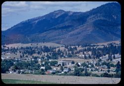
1.
Yreka, Calif. from hill at east
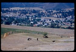
2.
Yreka, Calif. From hill east of town EK C1
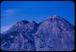
3.
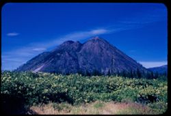
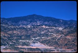
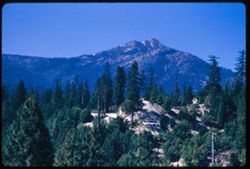
Top of Black Butte near Mt. Shasta
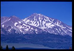
4.
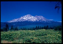
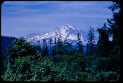
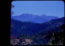
Mount Shasta & Shastina seen from S by W Cushman EK
5.
Black Butte from S by W Cushman
6.
Mount Shasta from WSW Cushman EK
7.
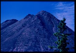
South peak of Black Butte along US 99 near Mount Shasta Cushman EK C1
8.
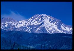
Mount Shasta 19162' from Hwy US 99 on south Cushman EK O & C
9.
Black Butte near Mt. Shasta seen from US 99 on south
10.
Mt. Shasta seen from Dunsmuir
11.
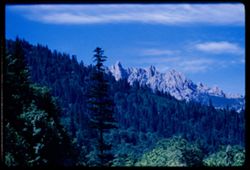
Castle Crags from southeast
12.
Castle Crags telephoto
13.
Mount Shasta seen from a point on US 99 south of Dunsmuir
14.
Castle Crags seen from US 99 south of Dunsmuir California EK C1
15.
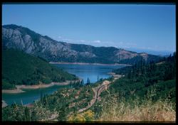
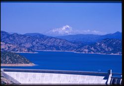
A bit of Lake Shasta 17 miles north of Redding Cushman EK
16.
Parts of Shasta Lake - from US 99 17 mi. north of Redding EK C1
17.
A bit of Shasta Lake 17 miles north of Redding
18.
Sacramento river below Shasta Dam
19.
Sacramento river below Shasta dam
20.
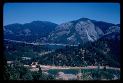
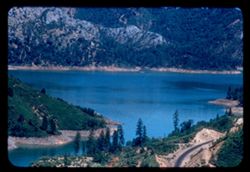
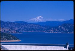
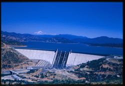
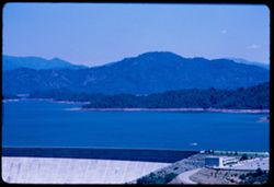
Shasta dam, lake, and Mountain EK C1
21.
View west across Sacramento river just below Shasta Dam Cushman EK
22.
Mountain west of Shasta dam EK C1
23.
Shasta Dam, Lake, Mountain EK Cushman
24.
Mountain west of Shasta dam EK C1
25.
Shasta Lake behind Shasta Dam EK C1
26.
Shasta dam, lake, mountain Cushman EK C1
27.
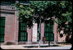
Main street of Shasta, Calif.
28.
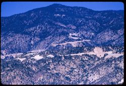
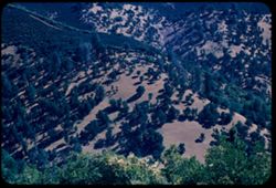
Tree-dotted mountain-slope in Shasta County 28 mi. east of Weaverville
29.
Trinity county's Bully Choop seen from US 299 23 mi. east of Weaverville EK C1
30.
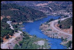
View north toward high ridge of Trinity Mtns. From US Hwy 299 above Trinity river - east of Douglas City
31.
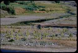
Weaver Creek just before it joins Trinity river at Douglas City, Calif.
32.
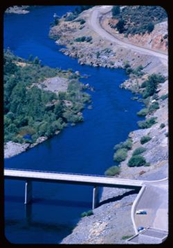
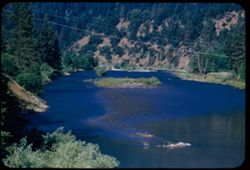
Looking down Trinity river from US 299 bridge at Douglas City Trinity County, Calif.
Toggle facets
Limit your search
Type
Image
32
Creator
Cushman, Charles W., 1896-1972
32
Subject
Trees
[remove]
32
Shrubs
28
Mountains
23
Shasta, Mount (Calif. : Mountain)
11
Shasta Dam (Calif.)
9
Roads
8
Lakes & ponds
7
Shasta Lake (Calif.)
7
Buildings
6
Rivers
5
more
Subjects
»
Date Created
1955-06-16
[remove]
32
Pages
0-99 pages
32
Collections
Charles W. Cushman Kodachrome Slides
32
State
deposited
32
Campus
IUB
32
Frame Number
37
2
1
1
11
1
12
1
13
1
14
1
15
1
16
1
18
1
19
1
County
Shasta
15
Siskiyou
12
Trinity
5
Series
17-55
30
16-55
2
City
Redding
4
Dunsmuir
3
Douglas City
2
Weaverville
2
Yreka
2
Shasta
1
Shastina
1
Country
United States
32
State/Province
California
32
Holding Location
B-ARCHIVES
32