Indiana University
Indiana University
IU
Skip to Content
Digital Collections
Toggle navigation
Digital
Collections
Switch language
English
Switch language
Deutsch
English
Español
Français
Italiano
Português do Brasil
中文
Login
Home
About
Contact
Search Digital Collections
Go
×
Search Constraints
Start Over
You searched for:
Date Created
1942
Remove constraint Date Created: 1942
Holding Location
B-WELLS
Remove constraint Holding Location: B-WELLS
« Previous
|
41
-
50
of
135
|
Next »
Sort by relevance ▼
relevance ▼
recently updated
title ▲
title ▼
date created ▲
date created ▼
pages ▲
pages ▼
collection size ▲
collection size ▼
Number of results to display per page
10 per page
10
per page
20
per page
50
per page
100
per page
View results as:
List
Gallery
Masonry
Search Results
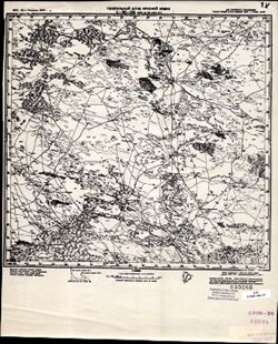
L-38-104 Свх. №109 Улан Туг
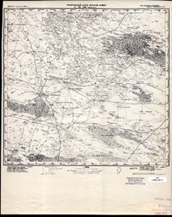
L-38-105 Ферма №5
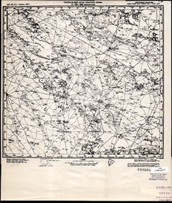
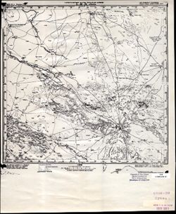
L-38-103 Перекрестный
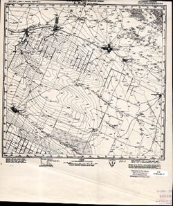
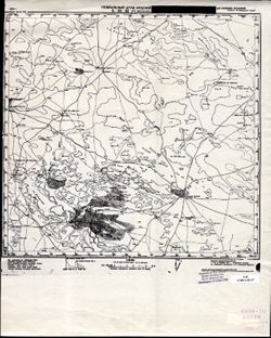
L-38-102 Мусса-Аджи
L-38-101 Ново-Романовское
L-38-92 Оз. Колтан-Нур
L-38-91 Ачинеры
L-38-90 Клх. Красный Маныч
L-38-82 К. Укки Худук
L-38-81 Зим. Клх. Им. Буденного
« Previous
Next »
1
2
3
4
5
6
7
8
9
…
13
14
Toggle facets
Limit your search
Type
Image
135
Creator
Geological Survey (U.S.)
5
Goodlove, C. W.
3
Hawkins, Geo. T. (George T.)
3
Renshawe, John H.
3
Clarkson, C. D. S.
1
Graff, Fred, Jr.
1
Herron, W. H. (William Harrison), 1865-
1
Louisville (Ky.)
1
Marshall, R. B. (Robert Bradford), 1867-1949
1
McKinley, W. K. (William Klett), 1891-1964
1
more
Creators
»
Subject
Topical Subject: Maps
129
Topical Subject: Soviet Union
129
Geographic Subject: Stavropol' Krai
8
Geographic Subject: Dagestan
3
Geographic Subject: Gibson County (Ind.)
3
Geographic Subject: Kalmykiya Republic
3
Geographic Subject: Chubutla
2
Geographic Subject: Dnipro
2
Geographic Subject: Knox County (Ind.)
2
Geographic Subject: Vorovskolesskaya
2
more
Subjects
»
Language
Russian
129
Publisher
Генеральный штаб Красной Армии
125
Geological Survey (U.S.)
5
Petery-Hedden Printing Company
1
Date Created
1942
[remove]
135
Pages
0-99 pages
135
Collections
Russian Military Topographic Map Collection
129
Indiana Historic Maps
6
State
deposited
135
Campus
IUB
135
City
Аул-Чубутла (Aul-Chubutla)
2
Воровсколесская (Vorovskolesskaya)
2
Адык (Adyk)
1
Алагир (Alagir)
1
Александровское (Aleksandrovskoye)
1
Андра-Ата (Andra-Ata)
1
Апанасенковское (Apanasenkovskoye)
1
Архангельская (Arkhangel'skaya)
1
Архангельское (Arkhangelskoye)
1
Ачикулак (Achikulak)
1
Country
СССР (USSR)
127
State/Province
РСФСР (RSFSR)
82
Украинская ССР (Ukrainian Soviet Socialist Republic)
45
Калмыцкая АССР (Kalmyk Autonomous Soviet Socialist Republic)
39
Орджоникидзевский край (Ordzhonikidze kray)
35
Днепропетровская область (Dnipropetrovsk oblast)
32
Полтавская область (Poltava oblast)
15
Кизлярский округ (Kizlyar district)
13
Сталинградская область (Stalingrad oblast)
11
Харьковская область (Kharkiv oblast)
10
Кабардино-Балкарская АССР (Kabardino-Balkar Autonomous Soviet Socialist Republic)
6
Holding Location
B-WELLS
[remove]
135
Provenance
CIA Map Library
27
DMA Topographic Center, Army Map Service Library, OMAHA, Library of Congress Geography & Map Division
27
DMA Topographic Center, Army Map Service Library, Library of Congress Geography & Map Division
18
DMA Topographic Center, Army Map Service Library
10
DMA Topographic Center, Library of Congress G & M Division, OMAHA, Army Map Service Library
8
Part of Geological Survey (U.S.). Indiana 1:62,500.
5
Army Map Service Library, Geographic Names Branch, Library of Congress G & M Division
4
CIA Map Library, Library of Congress G & M Division
4
CIA Map Library, Library of Congress Geography & Map Division
4
CIA Map Library, Atlasblatt
3