Search Constraints
You searched for:
Date Created
1974
Remove constraint Date Created: 1974
Provenance
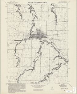
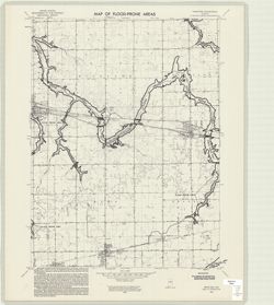
United States Department of the Interior, Geological Survey. Map of flood-prone areas : [Indiana]. Washington, D.C. : The Survey, 1969-.
Remove constraint Provenance: United States Department of the Interior, Geological Survey. Map of flood-prone areas : [Indiana]. Washington, D.C. : The Survey, 1969-.
Publisher
Geological Survey (U.S.)
Remove constraint Publisher: Geological Survey (U.S.)