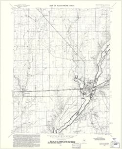
Filing title: Union City, Ind.-Ohio. Relief shown by contours and spot heights. Contour interval 10 feet. Includes quadrangle location map. Shows portions of...
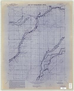
Filing title: Gilman, Ind. Relief shown by contours and spot heights. Contour interval 10 feet. Shows portions of Delaware and Madison counties, Indiana. Flo...
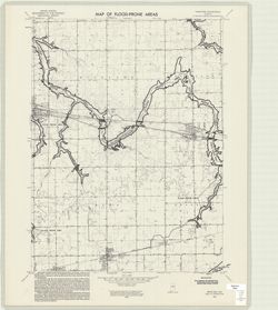
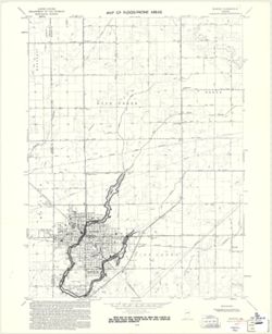
Filing title: Elwood, Ind. Relief shown by contours and spot heights. Contour interval 10 feet. Includes quadrangle location map. Flood prone areas and occas...
Geographic Subject: Henry County (Ind.), Geographic Subject: Rush County (Ind.), Topical Subject: Floods, Topical Subject: Floodplains, and Topical Subject: ...
Creator:
Geological Survey (U.S.)
Publisher:
Geological Survey (U.S.)
Date Created:
1970
Identifier:
VAC3073-M-00304
Genre:
Quadrangle maps, Topographic maps, and 7.5 minute topographic maps
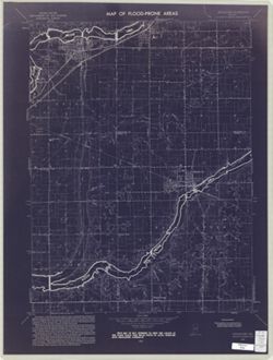
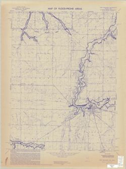
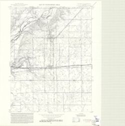
Filing title: Dunreith, Ind. Relief shown by contours and spot heights. Contour interval 10 feet. Includes quadrangle location map. Flood prone areas and occ...
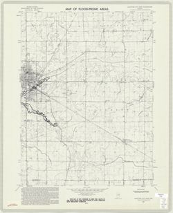
Geographic Subject: Madison County (Ind.), Topical Subject: Floodplains, Geographic Subject: Anderson Region (Ind.), Topical Subject: Floods, and Topical Sub...
Creator:
Geological Survey (U.S.)
Publisher:
Geological Survey (U.S.)
Date Created:
1973
Identifier:
VAC3073-M-01007
Genre:
Topographic maps, Quadrangle maps, and 7.5 minute topographic maps
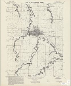
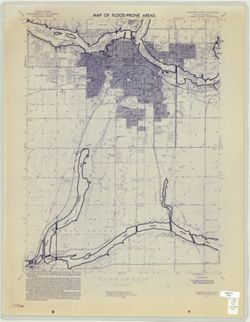
Filing title: Anderson South, Ind. Relief shown by contours and spot heights. Contour interval 10 feet. Includes quadrangle location map. Flood prone areas a...