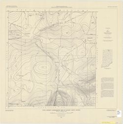
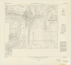
Filing title: Gilman, Ind. Relief shown by contours and spot heights. Contour interval 10 feet. Shows portions of Delaware and Madison counties, Indiana. Flo...
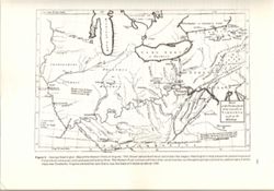
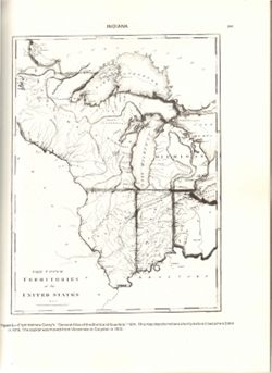
Variant tile: Map of the western parts of the colony of Virginia, as far as the Mississippi. Relief shown pictorially. Prime meridians: London and Ferro. &qu...
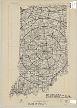
Compiled in 1970. Includes population key. Source data U.S. Dept. of the Interior - Geological Survey topographic maps. U.S. Dept of the Army - Corps of Engi...
Call Number:
G4091.C2 1973 .G4
Caption:
Imprint: [Reston, Va.] : U.S. Geological Survey, 1973
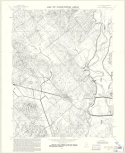
Filing title: Union City, Ind.-Ohio. Relief shown by contours and spot heights. Contour interval 10 feet. Includes quadrangle location map. Shows portions of...
Relief shown by hachures. Prime meridians: London and Philadelphia. Reprint of: The Upper territories of the United States. In General atlas of the world and...
Call Number:
QH75 .A4 No. 1200-IN
Caption:
Imprint: [Reston, Va.] : [The Survey], [1988]
Physical Description:
Dimensions: 29 cm or less and Scale: Indeterminable
Alternate Identifier:
Title Control Number: a18416533 and Alternate ID: 358171IP
Geographic Subject: Henry County (Ind.), Geographic Subject: Rush County (Ind.), Topical Subject: Floods, Topical Subject: Floodplains, and Topical Subject: ...
Creator:
Geological Survey (U.S.)
Publisher:
Geological Survey (U.S.)
Date Created:
1970
Identifier:
VAC3073-M-00304
Genre:
Quadrangle maps, Topographic maps, and 7.5 minute topographic maps
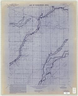
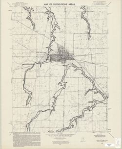
Filing title: Dunreith, Ind. Relief shown by contours and spot heights. Contour interval 10 feet. Includes quadrangle location map. Flood prone areas and occ...