Indiana University
Indiana University
IU
Skip to Content
Digital Collections
Toggle navigation
Digital
Collections
Switch language
English
Switch language
Deutsch
English
Español
Français
Italiano
Português do Brasil
中文
Login
Home
About
Contact
Search Digital Collections
Go
×
Search Constraints
Start Over
You searched for:
Creator
Geological Survey (U.S.)
Remove constraint Creator: Geological Survey (U.S.)
« Previous
|
21
-
30
of
160
|
Next »
Sort by relevance ▼
relevance ▼
recently updated
title ▲
title ▼
date created ▲
date created ▼
pages ▲
pages ▼
collection size ▲
collection size ▼
Number of results to display per page
10 per page
10
per page
20
per page
50
per page
100
per page
View results as:
List
Gallery
Masonry
Search Results
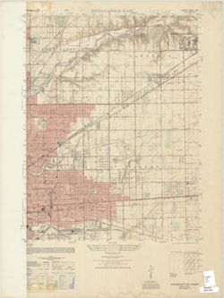
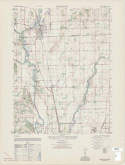
Indiana 1:25,000, Indianapolis East
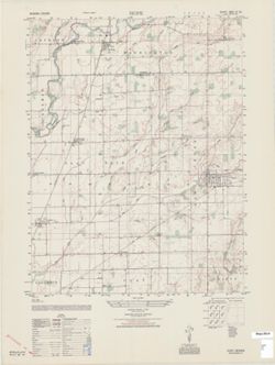
Hope : Indiana 1:25,000
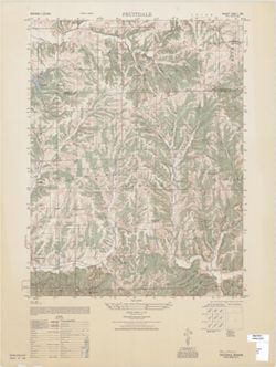
Fruitdale : Indiana 1:25,000
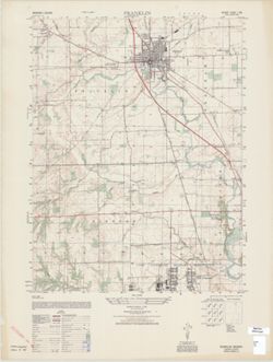
Franklin : Indiana 1:25,000
Edinburg : Indiana 1:25,000
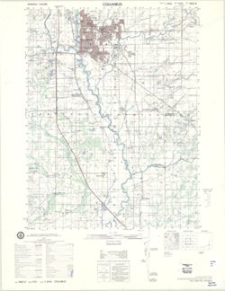
Columbus : Indiana 1:50,000
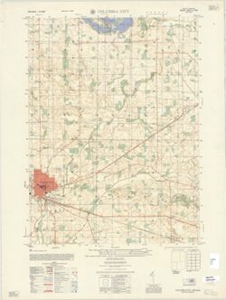
Columbia City : Indiana 1:25,000
Cedar Grove : Indiana 1:25,000
Bippus : Indiana 1:25,000
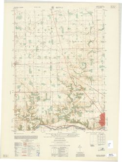
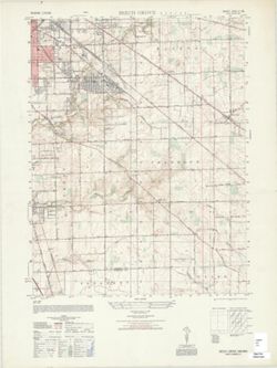
Beech Grove : Indiana 1:25,000
« Previous
Next »
1
2
3
4
5
6
7
…
15
16
Toggle facets
Limit your search
Type
Image
160
Creator
Geological Survey (U.S.)
[remove]
160
Renshawe, John H.
42
Hawkins, Geo. T. (George T.)
34
Goodlove, C. W.
31
United States. Army Map Service
26
Herron, W. H. (William Harrison), 1865-
19
Illinois State Geological Survey
18
United States. Army. Corps of Engineers
17
Marshall, R. B. (Robert Bradford), 1867-1949
16
McKinney, R. C. (Robert C.)
15
more
Creators
»
Subject
Geographic Subject: Gibson County (Ind.)
32
Topical Subject: Vegetation mapping
27
Geographic Subject: Wabash County (Ill.)
22
Geographic Subject: Knox County (Ind.)
21
Geographic Subject: Posey County (Ind.)
20
Geographic Subject: Bartholomew County (Ind.)
15
Geographic Subject: Johnson County (Ind.)
14
Geographic Subject: Lake County (Ind.)
14
Geographic Subject: Spencer County (Ind.)
14
Topical Subject: Flood forecasting
13
more
Subjects
»
Publisher
Geological Survey (U.S.)
131
United States. Army Map Service
21
The Survey
5
United States. Defense Mapping Agency. Topographic Center
3
Date Created
1948
13
1950
8
1959
8
1903
7
1970
7
1964
6
1925
5
1936
5
1939
5
1942
5
more
Date Createds
»
Pages
0-99 pages
160
Collections
Indiana Historic Maps
160
State
deposited
160
Campus
IUB
160
Holding Location
B-WELLS
160
Provenance
Part of Geological Survey (U.S.). Indiana 1:62,500.
104
Part of United States. Army Map Service, Indiana 1:25,000.
22
United States Department of the Interior, Geological Survey. Map of flood-prone areas : [Indiana]. Washington, D.C. : The Survey, 1969-.
12
Part of Geological Survey (U.S.). Indiana 1:125,000.
4
Part of United States. Army Map Service, Indiana 1:50,000.
2
Map of Flood-Prone Areas: Middletown Quadrangle, Indiana.
1
The National gazetteer of the United States of America--Indiana, 1988 / U.S. Geological Survey.
1
USGS 15 minute series (topographic)
1