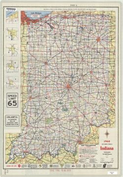
Panel title: 1960 Indiana official highway map. Includes 5 local route maps. Includes index, U.S. distance map, mileage chart, color illustrations, index and...
Call Number:
G4091.P2 1960 .I53
Caption:
Imprint: [Indianapolis] : State Highway Department of Indiana, [1960]
Physical Description:
Scale: Approximately 1:633,600 and Dimensions: 94 x 59 cm