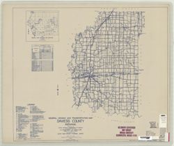
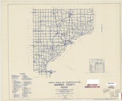
Topical Subject: Roads and Geographic Subject: Dearborn County (Ind.)
Creator:
Indiana. State Highway Commission (1919-1953)
Publisher:
State Highway Commission of Indiana
Date Created:
1949
Identifier:
VAC3073-M-00595
Genre:
Road maps
Geographic Location:
Coordinates: W0850800 W0844900 N0391900 N0384200
Related URL:
Catalog URL: https://iucat.iu.edu/catalog/5703652
Abstract:
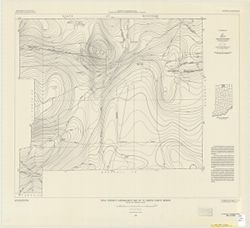
Blueline. "State road revised to January 1, 1949." "Data obtained from Statewide Highway Planning Survey." Includes chart "Culture i...
Call Number:
G4093.D3P2 1949 .I53
Caption:
Imprint: [Indianapolis?] : State Highway Commission of Indiana, [1949?]
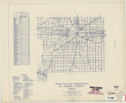
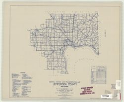
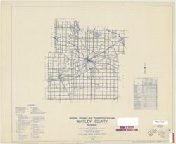
Geographic Subject: Jefferson County (Ind.) and Topical Subject: Roads
Creator:
Indiana. State Highway Commission (1919-1953)
Publisher:
State Highway Commission of Indiana
Date Created:
1949
Identifier:
VAC3073-M-00590
Genre:
Road maps
Geographic Location:
Coordinates: W0854100 W0851200 N0385500 N0383500
Related URL:
Catalog URL: https://iucat.iu.edu/catalog/5706350
Abstract:
Blueline. "State roads revised to January 1, 1949." "1937." "Data obtained from Statewide Highway Planning Survey." Includes lo...
Call Number:
G4093.J5P2 1949 .I53
Caption:
Imprint: [Indianapolis?] : State Highway Commission of Indiana, 1949.
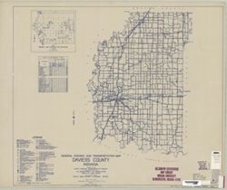
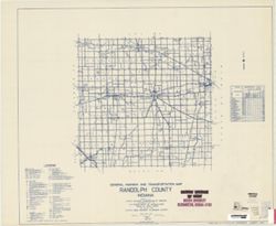
Topical Subject: Roads and Geographic Subject: Randolph County (Ind.)
Creator:
Indiana. State Highway Commission (1919-1953)
Publisher:
State Highway Commission of Indiana
Date Created:
1949
Identifier:
VAC3073-M-00563
Genre:
Road maps
Geographic Location:
Coordinates: W0851300 W0844900 N0401900 N0400000
Related URL:
Catalog URL: https://iucat.iu.edu/catalog/5708597
Abstract:
Blueline. "State roads revised to January 1, 1949.: "1937." Data obtained from State-wide Highway Planning Agency." Includes location ma...
Call Number:
G4093.R3 P2 1949 .I53
Caption:
Imprint: [Indianapolis?] : State Highway Commission of Indiana, 1949.
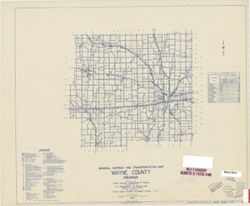
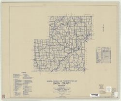
Topical Subject: Roads and Geographic Subject: Owen County (Ind.)
Creator:
Indiana. State Highway Commission (1919-1953)
Publisher:
State Highway Commission of Indiana
Date Created:
1949
Identifier:
VAC3073-M-00310
Genre:
Road maps
Geographic Location:
Coordinates: W0870300 W0863800 N0392800 N0391000
Related URL:
Catalog URL: https://iucat.iu.edu/catalog/5707900
Abstract:
Blueline. "State roads revised to January 1, 1949." "1937." "Data obtained from State-wide Highway Planning Survey." Includes l...
Call Number:
G4093.O8 P2 1949 .I53
Caption:
Imprint: [Indianapolis?] : State Highway Commission of Indiana, 1949.