Indiana University
Indiana University
IU
Skip to Content
Digital Collections
Toggle navigation
Digital
Collections
Switch language
English
Switch language
Deutsch
English
Español
Français
Italiano
Português do Brasil
中文
Login
Home
About
Contact
Search Digital Collections
Go
×
Search Constraints
Start Over
You searched for:
Subject
Rocks
Remove constraint Subject: Rocks
State/Province
Arizona
Remove constraint State/Province: Arizona
« Previous |
1
-
100
of
172
|
Next »
Sort by relevance ▼
relevance ▼
recently updated
title ▲
title ▼
date created ▲
date created ▼
pages ▲
pages ▼
collection size ▲
collection size ▼
Number of results to display per page
100 per page
10
per page
20
per page
50
per page
100
per page
View results as:
List
Gallery
Masonry
Search Results
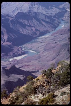
Looking north up the Grand Canyon from Desert View Pt.
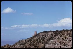
Tower on Desert View point view from Navajo Point- Grand Canyon
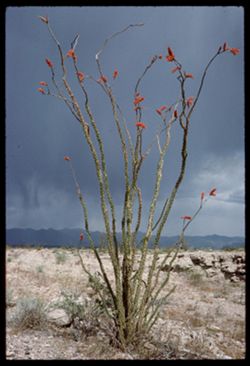
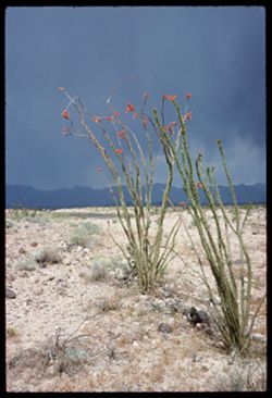
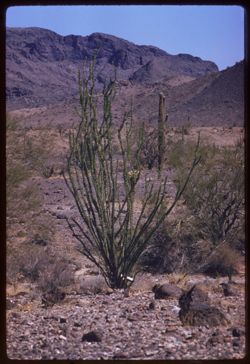
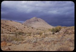
Ocotillo and storm cloud Mojave county Arizona
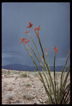
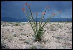
Ocotillo Mojave county Arizona
Ocotillo Mojave county Arizona
Ocotillo Mojave county Arizona
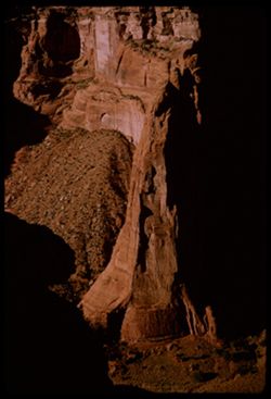
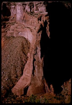
Canyon de Chelly Speaking Rock
Canyon de Chelly Spider Rock
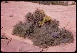
Desert bush Navajo Monument west of Kayenta, Ariz.
Near Monument Valley - Arizona along Navajo Trail east of Kayenta.
near Window Rock Arizona.
At the 4 Corners.
Jean at the Four Corners. Arizona-Colorado-New Mexico-Utah.
The Four Corners.
The 4 Corners.
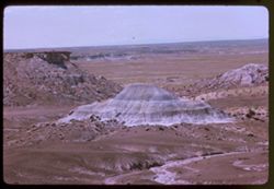
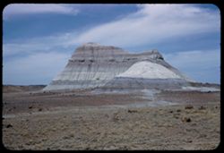
Painted Desert in Petrified Forest Nat'l Park Arizona
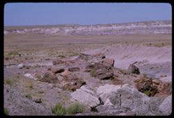
Petrified logs below Blue Mesa Petrified Forest National Park Arizona
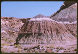
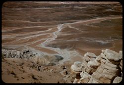
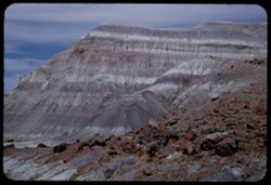
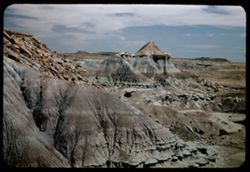
Blue Mesa area Petrified Forest National Park near Holbrook, Ariz.
Agate Bridge Petrified Forest National Park near Holbrook, Ariz.
In Jasper forest Petrified Forest near Holbrook, Ariz.
In Jasper forest Petrified Forest near Holbrook, Ariz.
In Jasper forest Petrified Forest N.P. near Holbrook, Ariz.
In Jasper forest Petrified Forest near Holbrook, Ariz.
In Petrified Forest National Park near Holbrook, Ariz.
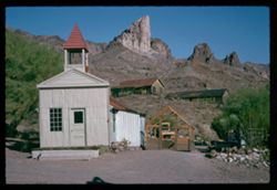
Oatman- Mohave county ARIZONA
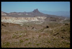
Expanse of rocky desert near Sitgreares Pass Mohave co., Arizona
Mojave county Arizona expanse near Sitgreaves Pass
Top- Knot along old road from Kingman, Ariz. to Needles, Calif.
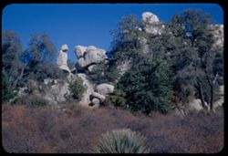
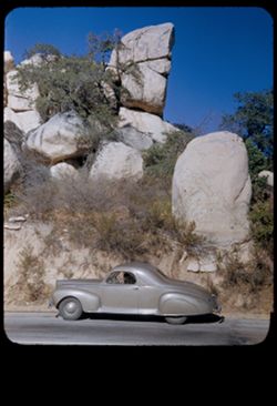
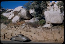
Granite Dells north of Prescott Arizona
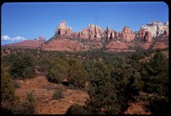
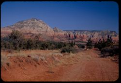
Above Oak Creek canyon 3 mi. north of Sedona First Kodachrome II Arizona
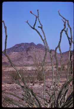
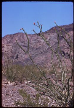
Ocotillo, Saguaro, and distant mountains Western Arizona - vicinity Quartzsite
Ocotillo Westn Arizona vicinity of Quartzsite
Ocotillo vicinity of Quartzite
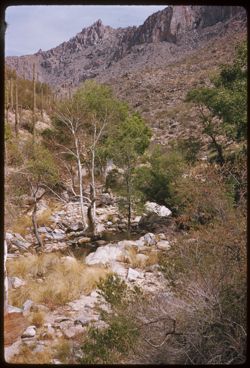
Sabino Canyon near Tucson, Ariz.
Sabino Canyon near Tucson, Ariz.
Tilted rock at Tanque Verde observation point Saguaro Natl Mon. near Tucson
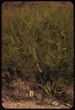
Palo Verde at head of Campbell Ave in Sta. Catalina foothills north of Tucson
One of the Tucson mountains
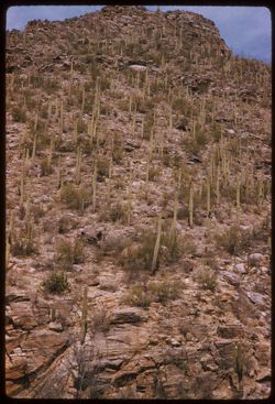
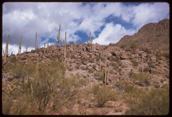
Sahuaros march up the mountain side- Tucson Mtns.
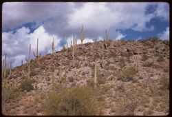
View east from Gates Pass in Tucson Mtns. toward city of Tucson
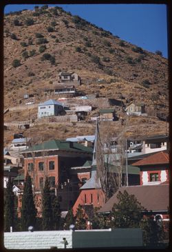
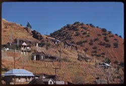
Bisbee, Ariz.
Bisbee, Ariz
A small butte along Ajo road SW of Tucson being commercialized
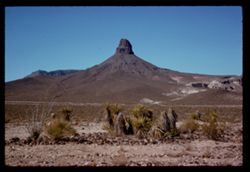
Baboquivari Pk far view from SSE
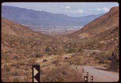
View northward from Gates Pass in Tucson Mtns.
Looking up from Gates Pass in Tucson Mtns.
Cholla changing color-along US 60-70 in Plomosa Mtns. Near Quartzsite, Arizona
Plomosa Mtns. Along US 60/70 near Quartzsite, Arizona
Out last look at row of rock shapes north of Sedona ARIZONA
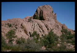
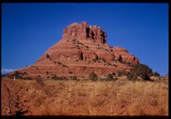
Great rock shape 6 miles south of Sedona, Arizona Cushman
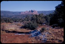
From Sedona, across Oak creek toward crazy red rock group Arizona
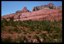
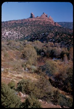
Fortress of red rock across Oak Creek from Sedona, Arizona
View NE along US 89A about 5 miles SW of Sedona. Arizona
Above Jerome seen from Clarkdale, Arizona Cushman
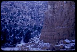
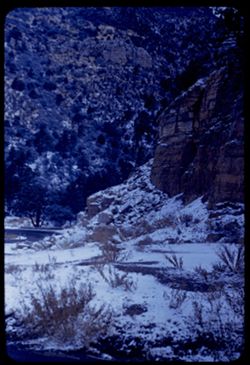
Snow fall Mingus Mtns. US 89A - between Prescott and Jerome, Ariz.
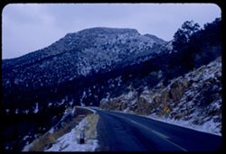
Fresh snow in Mingus Mtns. Between Prescott and Jerome Arizona
US Hwy 89A through Mingus Mtns. Arizona
Up-thrust peak above Queen creek just east of Superior, Ariz.
The old and new bridges over Queen Creek a few miles east of Superior, Arizona - US 60-70
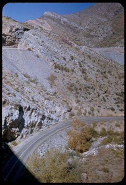
Great new highway across Queen Creek valley - US 60-70 just east of Superior, Arizona
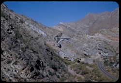
From high bridge of new US 60-70 over Queen Creek, old highway is seen far below. Scen...
View eastward up and across Queen creek valley from new high bridge of US 60-70 east o...
View up and across valley of Queen creek shows routes of new and old US 60-70 east of ...
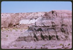
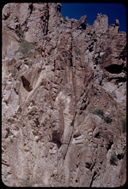
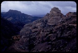
Top of high rock wall on north side of new highway US 60-70 east of Superior, Arizona
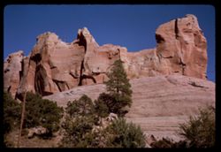
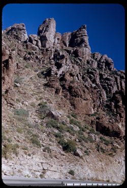
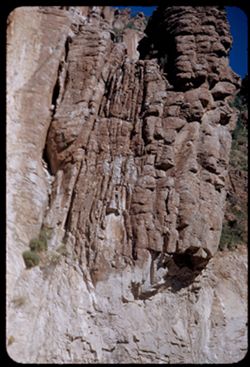
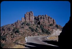
Castle-like towers above US 60-70 a few miles east of Superior, Arizona
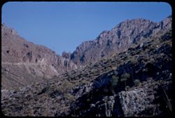
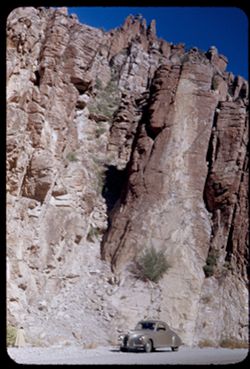
Looking up along steep rock wall that lines US 60-70 a few miles east of Superior, Ari...
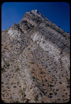
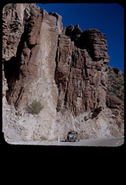
Face of high rock wall along north side of US 60-70 [new] east of Superior, Arizona
High rock wall on north side of US 60/70 (new route) east of Superior, Arizona
along new US 60-70 east of Superior, Arizona
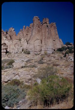
Giant rock forms along new US 60-70 east of Superior, Arizona
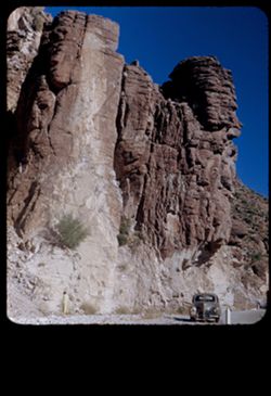
Row of chimney rocks above old US 60-70 east of Superior, Arizona
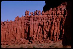
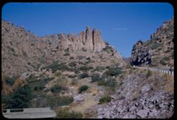
Rock shapes along US 60-70 a few miles east of Superior, Arizona
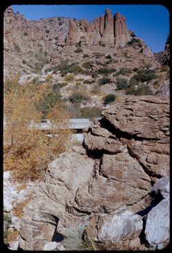
Bridge of old Hwy US 60-70 below route of new, shorter route a few miles east of Super...
Rock shapes along US 60-70 east of Superior Ariz.
at summit of US 60-70 between Miami and Superior, Arizona
Rock mass atop summit along US 60-70 between Miami and Superior, Ariz.
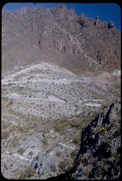
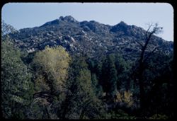
Mtn. Near summit of US 60-70 between Miami and Superior Arizona
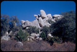
Boulders above US 60-70 at summit of road between Miami and Superior Arizona
At summit of US 60-70 between Miami and Superior ARIZONA
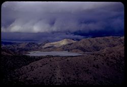
Tailings lake of Castle Dome mine seen from US 60-70 in Pinal Mtns. West of Miami, Ari...
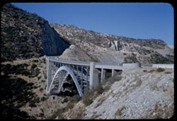
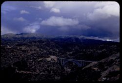
US 60/70 high arch bridge over Pinto creek west of Miami, Ariz.
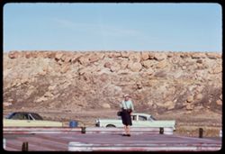
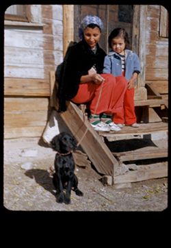
Miami, Arizona Mother, child and black dog Susie
High arch bridge of US 70 over Pinto creek in Pinal Mtns. West of Miami, Arizona
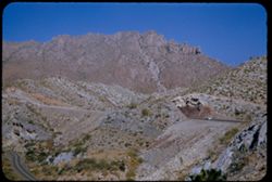
View NE into Pinal Mtns. From US 70 west of Miami, Arizona. [Vicinity of Castle Dome m...
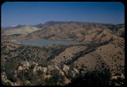
Mountains above Gila river south of Coolidge Dam Arizona
Gila river below Coolidge Dam Arizona
Rock wall above Coolidge dam Arizona
Rock face along US 70 above San Carlos lake at Coolidge dam, Arizona
Sunlighted butte in eastern Arizona seen from US 70 to halfway between Duncan and Safford
Butte north of US 70 halfway between Duncan and Safford in eastern Arizona
Desert in the Blue Forest Petrified Forest National Monument Charles Cushman
Petrified Forest National Monument near Holbrook, Arizona Charles Cushman
Petrified Forest Nat'l Monument Arizona Easter Cushman
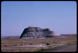
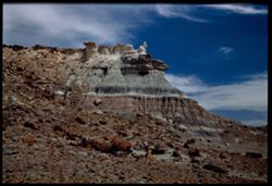
Buttes Petrified Forest National Monument
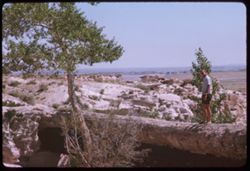
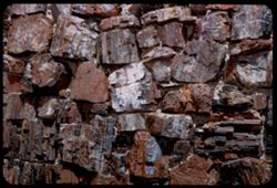
Detail of outside wall of Agate House Petrified Forest
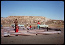
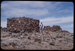
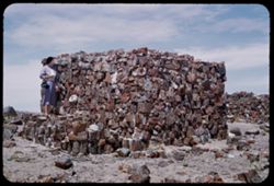
Both sections of the Agate House Petrified Forest
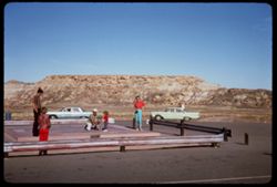
Jean at the Agate House Petrified Forest Arizona
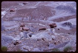
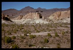
Fairy-tale Bad Lands Petrified Forest Nat'l Monument
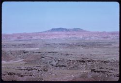
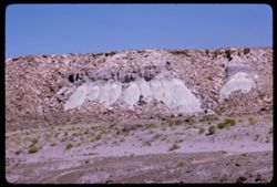
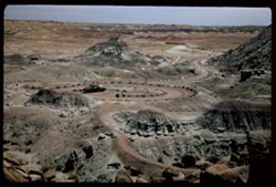
Expanse of Bad Lands Petrified Forest Nat'l Monument
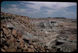
Bad lands Petrified Forest Nat'l Monument
« Previous
Next »
1
2
Toggle facets
Limit your search
Type
Image
172
Creator
Cushman, Charles W., 1896-1972
172
Subject
Rocks
[remove]
172
Shrubs
87
Mountains
81
Rock formations
72
Trees
56
Cliffs
50
National parks & reserves
46
Grasses
44
Canyons
39
Hills
33
more
Subjects
»
Date Created
1953-11-19
25
1952-04-13
23
1939-11-30
9
1963-06-27
9
1952-02-05
8
1953-11-18
8
1952-01-22
6
1953-11-21
6
1952-01-25
5
1965-10-07
5
more
Date Createds
»
Pages
0-99 pages
172
Collections
Charles W. Cushman Kodachrome Slides
172
State
deposited
172
Campus
IUB
172
Frame Number
9
9
18
7
21
7
24
7
28
7
10
6
12
6
2
6
31
6
32
6
County
Apache
32
Pima
32
Pinal
24
Coconino
19
Navajo
17
Cochise
13
Gila
10
Mohave
10
Yavapai
5
Yuma
5
Series
14-53
25
17-52
23
4-52
13
5-52
12
15-53
9
13-53
8
9-39
8
5-63
7
5-62
6
36-65
5
City
Superior
24
Tucson
16
Holbrook
12
Miami
10
Sedona
6
Quartzsite
5
Bisbee
4
Badlands
3
Jerome
3
Prescott
3
Country
United States
172
State/Province
Arizona
[remove]
172
Colorado
4
New Mexico
4
Utah
4
California
1
Nevada
1
Holding Location
B-ARCHIVES
172