
Search Constraints
You searched for:
Holding Location
B-ARCHIVES
Remove constraint Holding Location: B-ARCHIVES
Type
Image
Remove constraint Type: Image
Subject
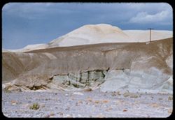
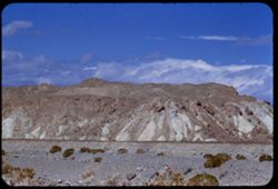
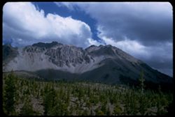
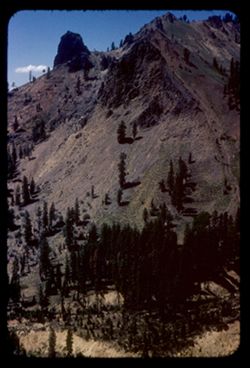
Clouds
Remove constraint Subject: Clouds
Subject
Rock formations
Remove constraint Subject: Rock formations
Subject
Rocks
Remove constraint Subject: Rocks
Subject
Shrubs
Remove constraint Subject: Shrubs
State
deposited
Remove constraint State: deposited
Search Results
- « Previous
- Next »
- 1
- 2
- 3