Search Constraints
You searched for:
Campus
IUB
Remove constraint Campus: IUB
Date Created
1970
Remove constraint Date Created: 1970
Holding Location
B-WELLS
Remove constraint Holding Location: B-WELLS
Type
Image
Remove constraint Type: Image
Pages
0-99 pages
Remove constraint Pages: 0-99 pages
Provenance
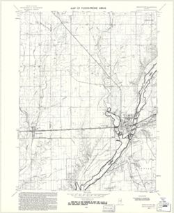
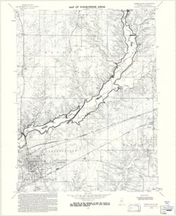
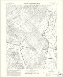
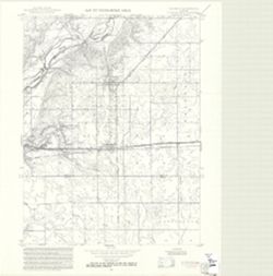
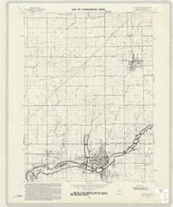
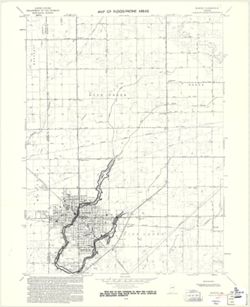
United States Department of the Interior, Geological Survey. Map of flood-prone areas : [Indiana]. Washington, D.C. : The Survey, 1969-.
Remove constraint Provenance: United States Department of the Interior, Geological Survey. Map of flood-prone areas : [Indiana]. Washington, D.C. : The Survey, 1969-.