Search Constraints
You searched for:
Campus
IUB
Remove constraint Campus: IUB
Pages
0-99 pages
Remove constraint Pages: 0-99 pages
Subject
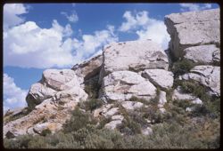
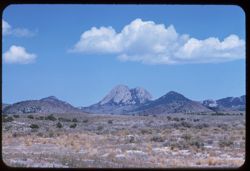
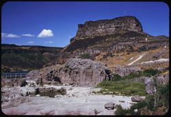
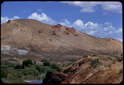
Shrubs
Remove constraint Subject: Shrubs
Subject
Clouds
Remove constraint Subject: Clouds
Subject
Rock formations
Remove constraint Subject: Rock formations