Indiana University
Indiana University
IU
Skip to Content
Digital Collections
Toggle navigation
Digital
Collections
Login
Home
About
Contact
Search Digital Collections
Go
×
Search Constraints
Start Over
You searched for:
Date Created
1958
Remove constraint Date Created: 1958
« Previous |
1
-
10
of
213
|
Next »
Sort by relevance ▼
relevance ▼
recently updated
title ▲
title ▼
date created ▲
date created ▼
pages ▲
pages ▼
collection size ▲
collection size ▼
Number of results to display per page
10 per page
10
per page
20
per page
50
per page
100
per page
View results as:
List
Gallery
Masonry
Search Results
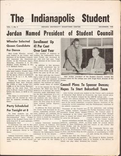
1958-12, The Indianapolis Student
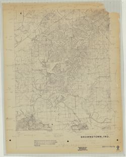
Brownstown, Ind. [Advance printing]
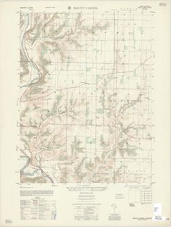
Mount Carmel : Indiana 1:25,000
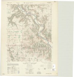
Cedar Grove : Indiana 1:25,000
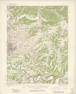
Indiana-Ohio, Winchester Quadrangle [1958 reprint]
Indiana-Illinois, Vincennes quadrangle : topography [1958 reprint with vegetation]
Indiana, 15 minute series (topographic), New Haven quadrangle [1958 printing with vege...
Illinois-Indiana Birds quadrangle : topography [1958 reprint]
Indiana Bedford quadrangle [1958 reprint with vegetation]
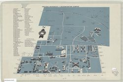
Indiana University Bloomington campus
« Previous
Next »
1
2
3
4
5
…
21
22
Toggle facets
Limit your search
Type
Image
212
Paged Resource
1
Creator
Photographer: Morris, Patrick (Pat) G.
6
Geological Survey (U.S.)
5
Montgomery, Pauline
4
Herron, W. H. (William Harrison), 1865-
2
United States. Army Map Service
2
EROS Data Center
1
Ellis, J. R. (Topographer)
1
Graff, Fred, Jr.
1
Harrison, R. L. (Topographer)
1
Illinois State Geological Survey
1
more
Creators
»
Subject
Angel Mounds State Historic Site (Ind.)
131
Excavations (Archaeology)
106
Antiquities
24
Male friendship
11
Dinners and dining
8
Private clubs
8
Events
7
Photography of men
7
Topical: Graves
4
Archaeology
3
more
Subjects
»
Publisher
Geological Survey (U.S.)
5
United States. Army Map Service
2
EROS Data Center
1
Indiana. Geological Survey
1
Marion County (Ind.). Metropolitan Planning Department
1
United States. Forest Service
1
[Indiana University?]
1
Date Created
1958
[remove]
213
Pages
0-99 pages
213
Collections
Glenn A. Black Laboratory of Archaeology Photographs
150
Roy W. Howard Photograph Collection
42
Indiana Historic Maps
12
Robert Coughlan Photograph Collection
4
Pauline Montgomery Indiana Tombstone Photographs
4
The Indianapolis Student
1
State
deposited
213
Campus
IU Bloomington
208
IU Kokomo
4
IU Indianapolis
1
County
Vanderburgh
142
Series
Groups
4
City
Jasper
1
Manilla
1
North Vernon
1
Salem
1
Country
United States
154
Italy
1
Zimbabwe
1
State/Province
Indiana
146
Provenance
Part of Geological Survey (U.S.). Indiana 1:62,500.
5
Part of United States. Army Map Service, Indiana 1:25,000.
2
Holding Location
B-IUMAA
150
B-MEDIASCHOOL
42
B-WELLS
12
B-ARCHIVES
4
I-UNIVLIB
1