
The IUB Map Collections contain digitized public domain maps from the Indiana University Bloomington Libraries print map collections. Maps in the digital collection range from the early nineteenth century to the present and feature: Geologic, topographic, and highway maps of Indiana in the Indiana Historic Maps Collection; Russian military topographic maps produced for defense and economic planning in the Russian Military Topographic Map Collection. The print IUB Map Collections are located on the 2nd floor of the East Tower of the Herman B Wells Library, 1320 East Tenth Street, Bloomington, Indiana 47405. To suggest maps to add to the digital collection or for more information, please contact us at libgimms@indiana.edu.
Subcolecciones (3)
| Título | |
|---|---|
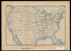
Alfred C. Kinsey Gall Wasp Research Maps This collection is comprised of 20 maps produced as part of Alfred C. Kinsey’s gall wasp research, which culminated in the volume entitled The gall ... |
|

Russian Military Topographic Map Collection The bulk of Indiana University’s Russian Military Topographic Map Collection is made up of the Soviet Red Army topographic maps, which ... |
|
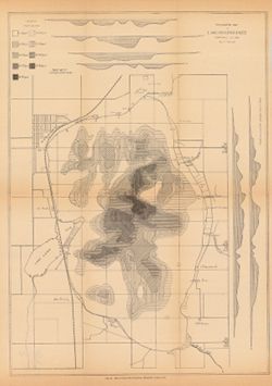
Indiana Historic Maps provides images of a small portion of maps that focus on Indiana. The majority of this collection focuses on maps produced prior to 192... |