
Image
Indiana, federal aid primary and secondary system Public Deposited
- Genre
- Road maps
- Location
- Coordinates: W0880700 W0844500 N0414500 N0375200
- Related URL
- Abstract
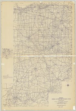
- Blue line print. "May 1, 1971." Includes inset of Indianapolis.
- Call Number
- G4091.P2 1971 .I53
- Caption
- Imprint: [Indianapolis?] : [The Division?], [1971?]
- Filename
- VAC3073-M-00638
- Subject
- Topical Subject: Roads
- Geographic Subject: Indiana
- Title
- Indiana, federal aid primary and secondary system
- Producer
- Indiana. State Highway Commission (1961-1981). Division of Planning
- Physical Description
- Dimensions: 133 x 89 cm
- Scale: 1:360,000
- Item Identifiers
- Title Control Number: a5335907
- Persistent Identifier
- Campus
- IU Bloomington
- Date Created
- 1971
- Publisher
- Indiana. State Highway Commission (1961-1981). Division of Planning
Relationships
Relationships
- In Collection:
Items
Show Item Images
| Thumbnail | Title | Date Uploaded | Visibility | Actions |
|---|---|---|---|---|
|
VAC3073-M-00638.jp2 | 2023-10-17 | Public |
|