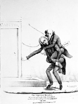
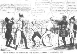
"Set to Between the Champion Old Tip and the Swell Dutchman of Kinderhook," cartoon, 1836, H.R. Robinson, pub., reprinted from the collections of t...
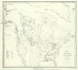
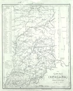
Illinois, American Indians, United States--Maps, and Indians of North America
Series:
GLOVE - Local and Regional Maps
Creator:
Peck, John Mason
Date Created:
1836
Identifier:
VAD5944-000053
Abstract:
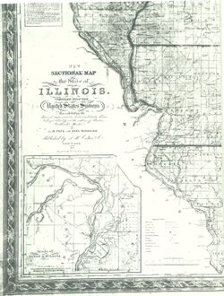
New Sectional Map of the State of Illinois. Compiled from the United States Surveys. Also exhibiting the Internal Improvements, distances between Towns, Vi...
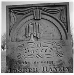
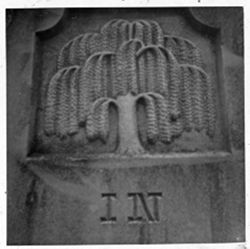
Bloomington - Indiana University Museum of Archaeology and Anthropology 416 North Indiana Avenue Bloomington, IN 47408 Contact at iumaa@indiana.edu, 812-855-6873
Bloomington - Indiana University Museum of Archaeology and Anthropology 416 North Indiana Avenue Bloomington, IN 47408 Contact at iumaa@indiana.edu, 812-855-6873
Bloomington - Indiana University Museum of Archaeology and Anthropology 416 North Indiana Avenue Bloomington, IN 47408 Contact at iumaa@indiana.edu, 812-855-6873