Indiana University
Indiana University
IU
Skip to Content
Digital Collections
Toggle navigation
Digital
Collections
Switch language
English
Switch language
Deutsch
English
Español
Français
Italiano
Português do Brasil
中文
Login
Home
About
Contact
Search Digital Collections
Go
×
Search Constraints
Start Over
You searched for:
Campus
IUB
Remove constraint Campus: IUB
Date Created
1940
Remove constraint Date Created: 1940
« Previous
|
401
-
500
of
823
|
Next »
Sort by relevance ▼
relevance ▼
recently updated
title ▲
title ▼
date created ▲
date created ▼
pages ▲
pages ▼
collection size ▲
collection size ▼
Number of results to display per page
100 per page
10
per page
20
per page
50
per page
100
per page
View results as:
List
Gallery
Masonry
Search Results
O-36-50
O-36-38
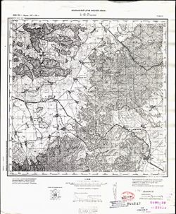
L-36-9 Ново-Николаевка
L-35-137 Будешти
L-35-136 Дрэгэнешти
L-35-134 Рошиори - Де Веде
L-37-4 Сталино
L-35-125 Бухарест
L-35-115 Татару
L-35-55 Драгомирешти
L-35-113 Плоешти
L-35-111 Тырговиште
L-35-110 Питешти
L-35-98 Куртя де Арджеш
L-35-75 Шеркая
L-35-74 Фэгэраш
L-34-82 Дева
K-52-31 Ст. Чатяогоу
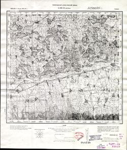
N-35-28-А Мундуны
J-38-44-A Джульфа
J-38-43-Б Гюльферадж
J-38-32-B Абракунис
J-38-31-Г Неграм
J-38-31-Б Нахичевань
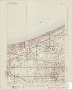
Indiana Porter quadrangle [1940 printing]
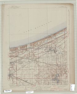
Indiana Porter quadrangle [1940 printing]
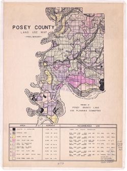
Posey County [Indiana] land use map : preliminary
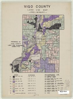
Vigo County [Indiana] land use map: preliminary
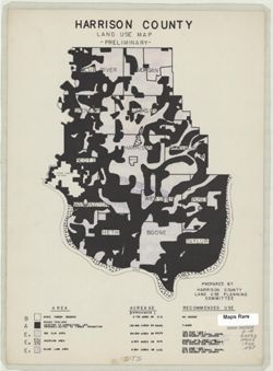
Harrison County [Indiana] land use map : preliminary
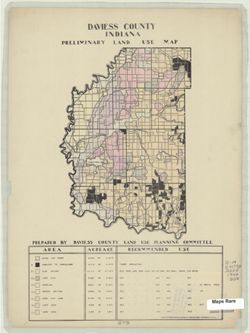
Daviess County Indiana preliminary land use map
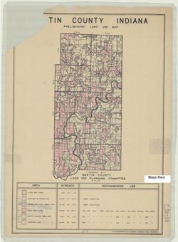
Martin County Indiana preliminary land use map
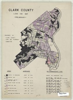
Clark County [Indiana] land use map
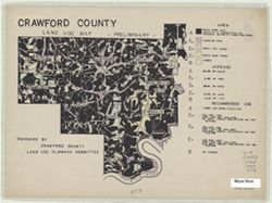
Crawford County [Indiana] land use map: preliminary
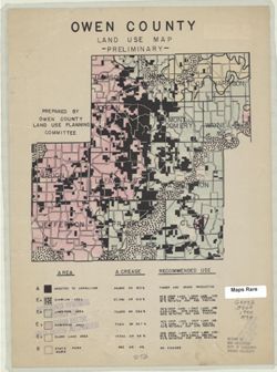
Owen County [Indiana] land use map : preliminary
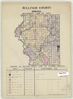
Sullivan County Indiana preliminary land use map
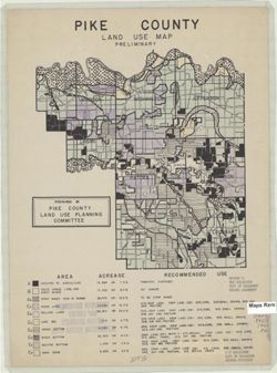
Pike County [Indiana] land use map : preliminary
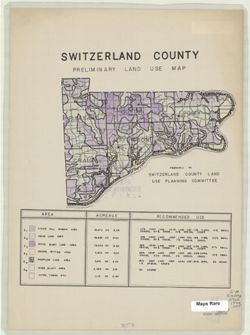
Switzerland County [Indiana] preliminary land use map
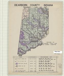
Dearborn County Indiana preliminary land use map
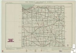
Federal aid highway system progress map
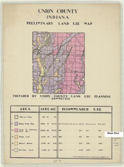
Union County Indiana preliminary land use map
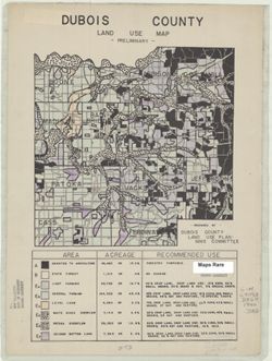
Dubois County [Indiana] land use map : preliminary
State of Indiana
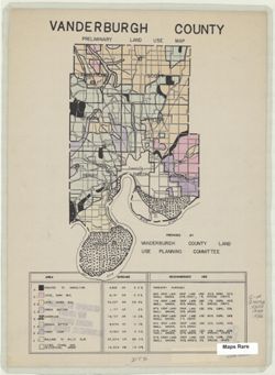
Vanderburgh County [Indiana] preliminary land use map
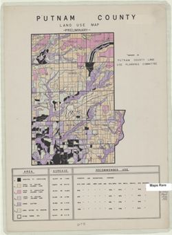
Putnam County [Indiana] land use map : preliminary
Jefferson County [Indiana] preliminary land use map
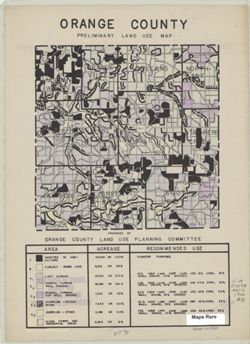
Orange County [Indiana] preliminary land use map
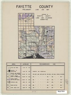
Fayette County [Indiana] preliminary land use map
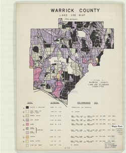
Warrick County [Indiana] land use map : preliminary
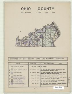
Ohio County [Indiana] preliminary land use map
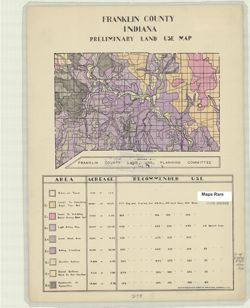
Franklin County Indiana preliminary land use map
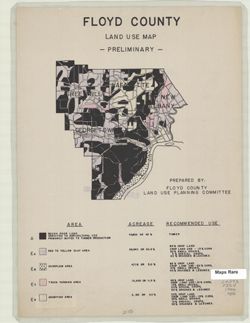
Floyd County [Indiana] land use map : preliminary
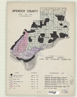
Spencer County [Indiana] land use map : preliminary
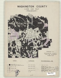
Washington County [Indiana] land use map : preliminary
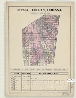
Ripley County, Indiana, preliminary land use map
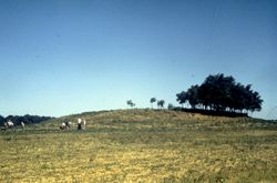
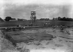
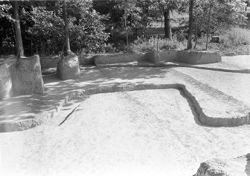
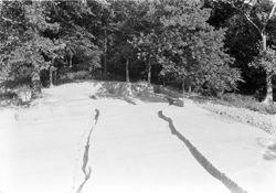
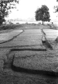
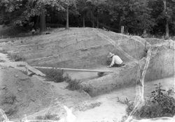
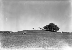
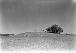
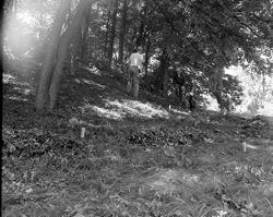
Angel Mounds, Mound F
Angel Mounds
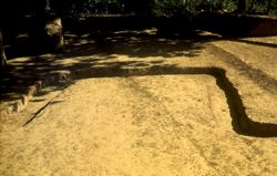
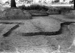
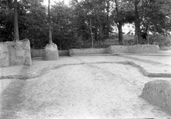
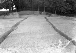
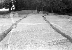
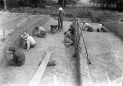
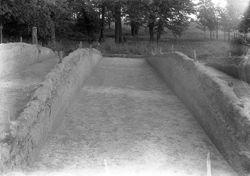
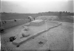
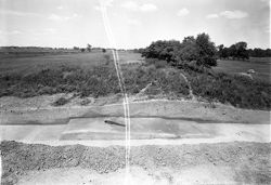
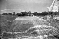
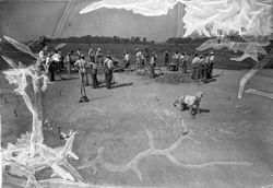
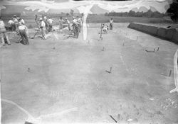
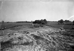
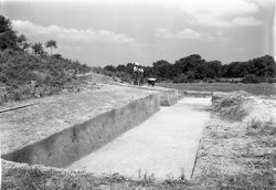
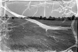
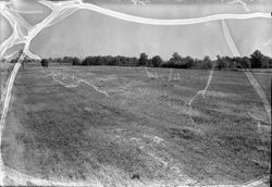
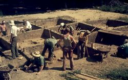
Angel Mounds Excavation
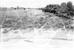
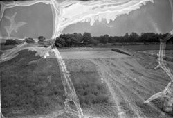
Angel Mounds Excavation
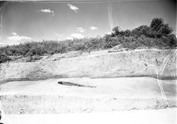
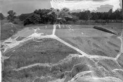
Angel Mounds Excavation
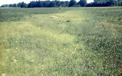
Angel Mounds
Angel Mounds
Angel Mounds
Angel Mounds
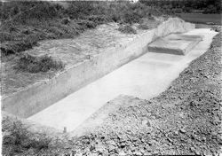
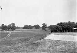
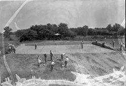
Angel Mounds Excavation
Angel Mounds Excavation
Angel Mounds
Angel Mounds
Angel Mounds Excavation
Angel Mounds
Angel Mounds
Angel Mounds
Angel Mounds
Angel Mounds
Angel Mounds
Angel Mounds
Angel Mounds
Angel Mounds
Angel Mounds
Angel Mounds
Angel Mounds
Angel Mounds
Angel Mounds
Angel Mounds
Angel Mounds
Angel Mounds
Angel Mounds
Angel Mounds
Angel Mounds
Angel Mounds
Angel Mounds
Angel Mounds
Angel Mounds
Angel Mounds
Angel Mounds
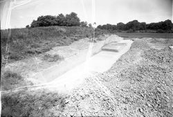
Angel Mounds Excavation
Angel Mounds Fieldwork
World War I
World War I
World War I
World War I
« Previous
Next »
1
2
3
4
5
6
7
8
9
Toggle facets
Limit your search
Type
Image
823
Creator
Montgomery, Pauline
8
Clement, S. E. (Stephen Earl), 1894-1981
2
Geological Survey (U.S.)
2
Clark County (Ind.). Land Use Planning Committee
1
Crawford County (Ind.). Land Use Planning Committee
1
Daviess County (Ind.). Land Use Planning Committee
1
Dearborn County (Ind.). Land Use Planning Committee
1
Dubois County (Ind.). Land Use Planning Committee
1
Fayette County (Ind.). Land Use Planning Committee
1
Floyd County (Ind.). Land Use Planning Committee
1
more
Creators
»
Subject
Topical Subject: Maps
424
Topical Subject: Soviet Union
424
Photography of men
74
Travel photography
58
Family
51
Vacations
45
Angel Mounds State Historic Site (Ind.)
42
Friendship
40
Travel
37
Excavations (Archaeology)
36
more
Subjects
»
Language
Russian
424
Publisher
Генеральный штаб Красной Армии
278
Генеральный штаб РККА
126
Главное управление геодезии и картографии при СНК СССР
10
United States. Bureau of Agricultural Economics
7
Наркомрыбпром Главрыбвод
5
Главное управление государственной съемки и картографии НКВД СССР
4
Geological Survey (U.S.)
2
Clark County (Ind.). Land Use Planning Committee
1
Crawford County (Ind.). Land Use Planning Committee
1
Dearborn County (Ind.). Land Use Planning Committee
1
more
Publishers
»
Date Created
1940
[remove]
823
Pages
0-99 pages
823
Collections
Russian Military Topographic Map Collection
424
Roy W. Howard Photograph Collection
312
Glenn A. Black Laboratory of Archaeology Photographs
42
Indiana Historic Maps
30
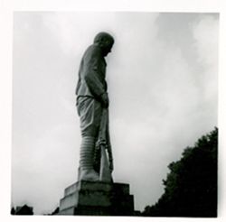
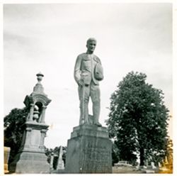
Pauline Montgomery Indiana Tombstone Photographs
8
Presidential Campaigns, A Cartoon History, 1789-1976
4
Ralston Lantern Slides
3
State
deposited
823
Campus
IUB
[remove]
823
County
Vanderburgh
41
Series
Groups
8
City
Ubud
5
Davao
4
Zamboanga
4
Bedford
3
Geneva
2
Greenfield
2
Honolulu
2
Miami Beach
2
Yorktown ?
2
Беутен (Beuthen)
2
Country
Германия (Восточная Пруссия) (Germany (East Prussia))
132
Германия (Germany)
101
СССР (USSR)
88
United States
61
Republic of Indonesia
28
Румыния (Romania)
18
Egypt
16
Финляндия (Finland)
16
Republic of the Philippines
12
Восточная Пруссия (East Prussia)
11
State/Province
Область государственных интересов Германии (Region of German state interests)
93
Indiana
50
Белорусская ССР (Byelorussian Soviet Socialist Republic)
28
Bali
27
Литовская ССР (Lithuanian Soviet Socialist Republic)
25
РСФСР (RSFSR)
20
Украинская ССР (Ukrainian Soviet Socialist Republic)
18
Барановичская область (Baranavichy oblast)
12
Ленинградская область (Leningrad oblast)
11
Белостокская область (Belastok oblast)
10
Holding Location
B-WELLS
458
B-MEDIASCHOOL
312
B-IUMAA
42
B-ARCHIVES
8
B-LILLY
3
Provenance
DMA Topographic Center, Army Map Service Library
64
DMA Topographic Center, Army Map Service Library, OMAHA
54
M. I. Map Library
50
CIA Map Branch -- Received
46
Army Map Service Library, OMAHA, Library of Congress Geography & Map Division
24
DMA Topographic Center, Army Map Service Library, Library of Congress Geography & Map Division
23
DMA Topographic Center, Army Map Service Library, OMAHA, Library of Congress Geography & Map Division
19
DMA Topographic Center, Library of Congress Geography & Map Division, Army Map Service Library, OMAHA
18
DMA Topographic Center, Army Map Service Library, Auswärtiges Amt. Geographischer Dienst
13
CIA Map Library
10