Indiana University
Indiana University
IU
Skip to Content
Digital Collections
Toggle navigation
Digital
Collections
Login
Home
About
Contact
Search Digital Collections
Go
×
Search Constraints
Start Over
You searched for:
Collections
Indiana Historic Maps
Remove constraint Collections: Indiana Historic Maps
« Previous
|
1,231
-
1,237
of
1,237
| Next »
Sort by relevance ▼
relevance ▼
recently updated
title ▲
title ▼
date created ▲
date created ▼
pages ▲
pages ▼
collection size ▲
collection size ▼
Number of results to display per page
10 per page
10
per page
20
per page
50
per page
100
per page
View results as:
List
Gallery
Masonry
Search Results
1231.
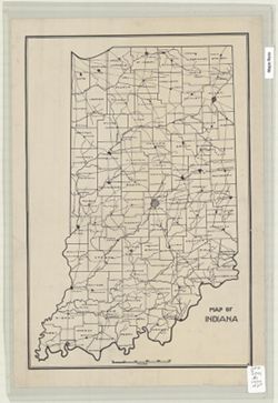
Map of Indiana
1232.
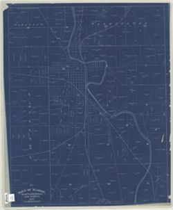
Town of Marion, Grant County, Indiana and Vicinity, 1887
1233.
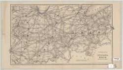
New railroad map of Indiana Ohio and part of Illinois
1234.
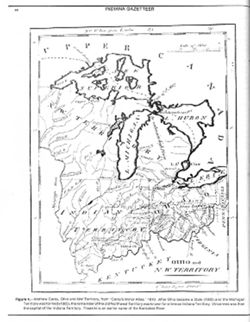
Ohio and N.W. Territory
1235.
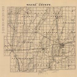
Soil map of Wayne County
1236.
Map of Indiana showing county boundaries, township and range lines
1237.
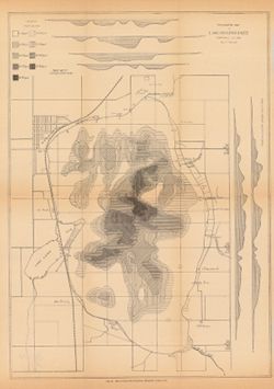
Topographic map of Lake Maxinkuckee, Marshall Co. Ind.
« Previous
Next »
1
2
…
120
121
122
123
124
Toggle facets
Limit your search
Type
Image
1,237
Creator
Geological Survey (U.S.)
160
Indiana. State Highway Commission (1919-1953)
85
Kingsbury, Robert C.
78
Hollingsworth, John M.
68
Renshawe, John H.
45
Hawkins, Geo. T. (George T.)
37
Goodlove, C. W.
31
United States. Army Map Service
28
Herron, W. H. (William Harrison), 1865-
27
Indiana. Department of Geology and Natural Resources
26
more
Creators
»
Subject
Geographic Subject: Indiana
438
Topical Subject: IGS Annual Reports
180
Topical Subject: Roads
178
Topical Subject: Geology
103
Topical Subject: Soils
97
Topical Subject: Mines and mineral resources
70
Topical Subject: Real property
57
Topical Subject: Landowners
56
Geographic Subject: Monroe County (Ind.)
55
Topical Subject: Land use
55
more
Subjects
»
Publisher
Indiana. Department of Geology and Natural Resources
196
Geological Survey (U.S.)
159
Indiana. Geological Survey
77
Indiana University. Department of Geography
75
State Highway Commission of Indiana
61
United States. Bureau of Soils
41
[publisher not identified]
40
United States. Army Map Service
22
Schellie Associates
18
Indiana. Department of Transportation
15
more
Publishers
»
Date Created
1970
96
1949
71
1908
37
1940
30
1912
26
1906
24
1950
23
1894
22
1899
21
1939
21
more
Date Createds
»
Pages
0-99 pages
1,237
Collections
Indiana Historic Maps
[remove]
1,237
State
deposited
1,237
Campus
IU Bloomington
1,237
Provenance
Part of Geological Survey (U.S.). Indiana 1:62,500.
119
An atlas of Indiana / by Robert C. Kingsbury [1970].
77
Indiana state highway system
40
32nd Annual Report (1907) / Indiana. Department of Geology and Natural Resources.
24
Part of United States. Army Map Service, Indiana 1:25,000.
23
18th Annual Report (1893) / Indiana. Department of Geology and Natural Resources.
19
23rd Annual Report (1898) / Indiana. Department of Geology and Natural Resources.
18
36th Annual Report (1911) / Indiana. Department of Geology and Natural Resources.
18
30th Annual Report (1905) / Indiana. Department of Geology and Natural Resources.
14
Katherine Stevens. Township maps of Monroe County, Indiana, [1939]
12
more
Provenances
»
Holding Location
B-WELLS
1,237