

![Marion County, Indiana [map] : [aerial photographs, 1 inch=100 feet]](https://iiif.uits.iu.edu/iiif/2/8g84np70q%2Ffiles%2F87c92dbf-3c08-4afb-9aa5-654d83642274/full/250,/0/default.jpg)
Limit your search
- Creator: Clark, Gracia298
- Photographer: Gracia Clark265
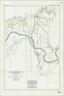
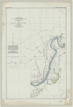
- Geological Survey (U.S.)160
- Indiana. State Highway Commission (1919-1953)85
- Kingsbury, Robert C.78
- Director: Uys, Jamie73
- Director: Ouédraogo, Idrissa70
- Hollingsworth, John M.68
- Director: Akkad, Moustapha63
- Director: Bouchareb, Rachid48
- more Creators »
- Генеральный штаб Красной Армии1,420
- Генеральный штаб РККА1,000
- Управление военных топографов465
- Управление военных топографов РККА462
- Indiana. Department of Geology and Natural Resources196
- Главное управление геодезии и картографии при СНК СССР189
- Военно-топографическое управление186
- Geological Survey (U.S.)159
- Главное Управление Геодезии и Картографии при СНК СССР127
- Indiana. Geological Survey77
- more Publishers »
- 19411,083
- 1940458
- Circa 1979191
- 1942135
- Date Taken: 1989113
- Date Taken: 2000113
- Date Taken: 200298
- 197096
- Date Taken: 200196
- 193995
- more Date Createds »
- 0-99 pages8,218
- РСФСР (RSFSR)1,385
- Белорусская ССР (Byelorussian Soviet Socialist Republic)596
- Украинская ССР (Ukrainian Soviet Socialist Republic)566
- Ленинградская область (Leningrad oblast)352
- Западная область (Western oblast)195
- Калининская область (Kalinin oblast)165
- Смоленская область (Smolensk oblast)145
- Область государственных интересов Германии (Region of German state interests)112
- Карельская АССР (Karelian Autonomous Soviet Socialist Republic)107
- Орловская область (Oryol oblast)98
- B-WELLS[remove]8,218
- DMA Topographic Center, Army Map Service Library, OMAHA, Library of Congress Geography & Map Division904
- DMA Topographic Center, Army Map Service Library, OMAHA416
- Army Map Service Library, OMAHA, Library of Congress Geography & Map Division351
- DMA Topographic Center, Army Map Service Library, Library of Congress Geography & Map Division273
- DMA Topographic Center, Army Map Service Library221
- M. I. Map Library179
- CIA Map Library172
- CIA Map Branch -- Received148
- Part of Geological Survey (U.S.). Indiana 1:62,500.119
- M. I. Map Library, G000-30, GS, RA115