Search Constraints

You searched for: Date Created 1908 Remove constraint Date Created: 1908 Publisher Indiana. Department of Geology and Natural Resources Remove constraint Publisher: Indiana. Department of Geology and Natural Resources Subject Topical Subject: IGS Annual Reports Remove constraint Subject: Topical Subject: IGS Annual Reports
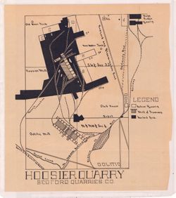
Search Results

  • Monroe County soil map
  • Hoosier Quarry : Bedford Quarries Co.
  • A map of the counties of Dearborn, Ohio, Switzerland, Jefferson and Ripley showing the location of sections and collecting localities and the boundary between the Ordovician and Silurian systems
  • Bloomington [stone mills and quarries]
  • The zero of all these sections is the level of the Ohio River
  • Profile and map of the Big Four R.R. and Tanner's Creek from Guilford to Weisburg, Ind. showing railroad cuts and collecting stations
  • Tanner's Creek and Richmond Chart
  • Bedford and vicinity
  • Soil map of Switzerland County
  • A map of the counties of Franklin, Union, Fayette and Wayne