Indiana University
Indiana University
IU
Skip to Content
Digital Collections
Toggle navigation
Digital
Collections
Login
Home
About
Contact
Search Digital Collections
Go
×
Search Constraints
Start Over
You searched for:
Type
Image
Remove constraint Type: Image
State
deposited
Remove constraint State: deposited
« Previous |
1
-
100
of
70,870
|
Next »
Sort by pages ▼
relevance ▼
recently updated
title ▲
title ▼
date created ▲
date created ▼
pages ▲
pages ▼
collection size ▲
collection size ▼
Number of results to display per page
100 per page
10
per page
20
per page
50
per page
100
per page
View results as:
List
Gallery
Masonry
Search Results
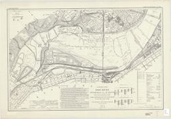
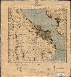
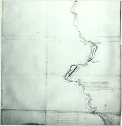
Ohio River : Pittsburgh, Pa. to mouth in 280 charts and index sheet
Map of the Ohio River, reduced from the following surveys: 1837-8, Lieut. Sanders, U.S...
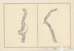
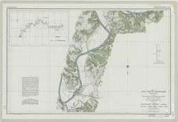
Wabash River and Valley from Terre Haute, Ind. to Logansport Ind: chart 14 to chart 38...
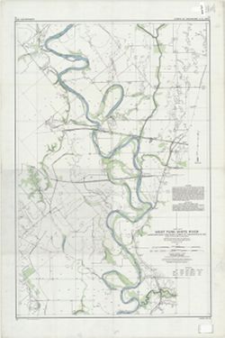
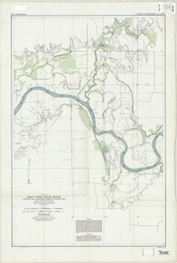
West Fork White River : junction East and West Forks to Indianapolis, Ind. : chart 30 ...
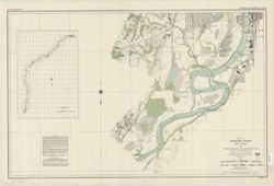
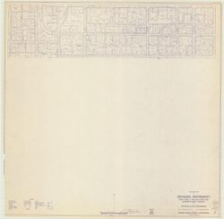
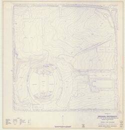
Topographic map of Indiana University
United States of America, National Archives Record Group 46 26A-E6
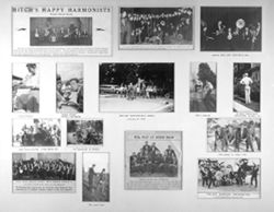
Matted montage of photographs.
Wabash River and Valley from Terre Haute, Ind. to mouth, in 13 charts, 1914
Wabash River and Valley from Terre Haute, Ind. to mouth, in 13 charts, 1914
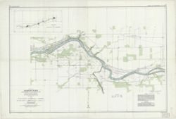
East Fork White River : Sparksville to Columbus, Ind. : chart 20 to chart 29 inclusive
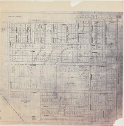
Bloomington, [Indiana] metropolitan map series
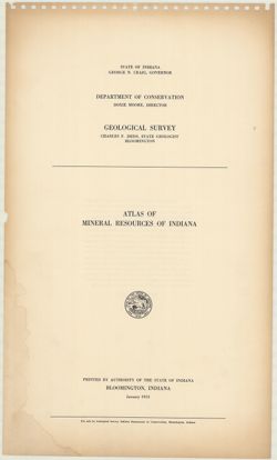
Atlas of mineral resources of Indiana
Eel River : Worthington to Clay-Putnam Co. line Ind. : chart 1 to chart 9 inclusive
Map of the City of Indianapolis and its suburbs
Map of the State of Indiana compiled from the United States Surveys: exhibiting the se...
Map of the City of Indianapolis and its suburbs [map]
Topographic map of Indiana University
Wabash River Logansport to Huntington, Ind. : chart 39 to chart 46 inclusive
[Bloomington, Indiana, cadastral map]
East Fork White River : Shoals, Indiana to Sparksville, Indiana : chart 13 to chart 19...
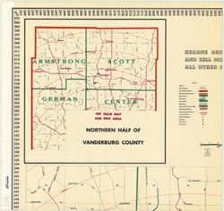
Official Hearne Brothers polyconic projection map of Greater Evansville and Vanderburg...
Map of Clark County, Indiana from the latest official surveys & records
Michigan, Wisconsin, Northern Illinois
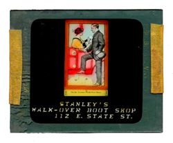
Stanley's Walk-Over Boot Shop
Evansville Indiana 1890
Bridgman's new sectional and township map of Indiana from the latest official and ...
Clancy's map of the City of Kokomo, Indiana
War Department Installations : Fifth Service Command : a section of the Strategic map ...
East Fork White River : junction East and West Forks to Shoals, Ind. : chart 7 to char...
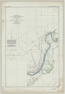
White River : mouth to junction, East and West Forks : chart 1 to chart 6 inclusive
Marion County, Indiana [map] : [aerial photographs, 1 inch=100 feet]
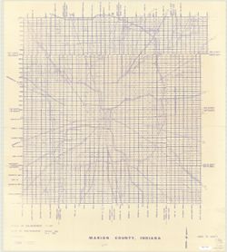
Map of Marion County, Indiana
Map of Dearborn Co'y, Indiana
Walk Over Shoes
Mountain Music
Transcript
Hoagy Carmichael (kneeling, far left) in a group photograph of an ASCAP celebration, c...
Four pictures: a) Hoagy Carmichael playing the cornet. b) Four young men with tire inn...
Map of Vermillion County Indiana with principal towns
General highway and transportation map of Marion County Indiana
Map of Monroe County, Indiana
Map of Perry County, Indiana
Geologic map of Indiana
Historical Map of Illinois Showing Early Discoveries
A General Plot of the United States Lands in the Kaskaskia District
Wisconsin Showing Indian Locations
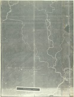
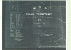
Map of Indian Territory Central and Southwest
Eastern Wisconsin, Iowa, Upper Michigan
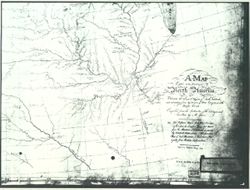
Copied by N. King Map of Part of North America
North America Enlarged Section Great Lakes to Tennessee
Small Sketch of Maps of Mississippi Ouisconsin and Illinois Rivers
New Sectional Map of Illinois
Three pictures: a) Hoagy Carmichael, holding cornet (front center), leading band in th...
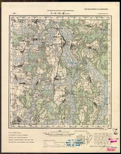
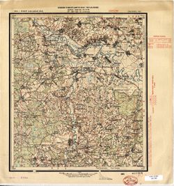
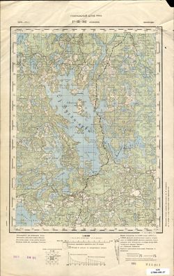
N-35-131-Б Дуброва
N-35-131-А Волосовичи
N-35-93-Б Пуховичи
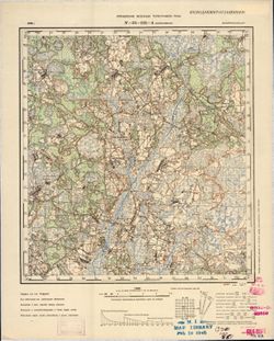
N-37-1 Руза
M-36-140-A Марьяновка
N-36-43-A Усвятье
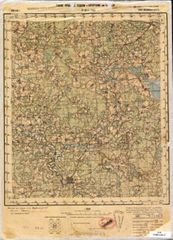
O-34-35-В Керслет
L-36-61 Аккерман
O-35-47-Б Захоноье
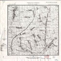
O-35-47-Г Волошово
N-36-101 Сураж
Q-36-27 и 28 Вад-озеро
P-35-102 Селянпяя
О-35-46-Г Житковичи
M-35-55-Б Ярунь
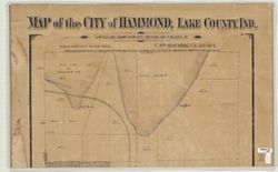
Map of the City of Hammond, Lake County, Ind.
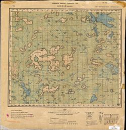
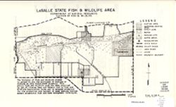
LaSalle State Fish & Wildlife Area
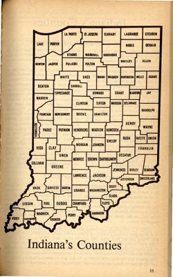
Indiana's counties
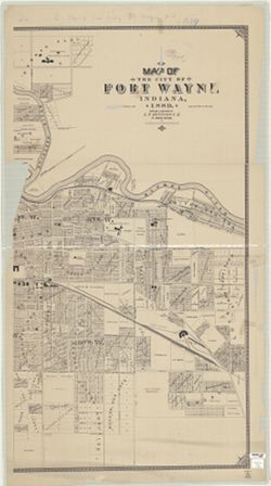
Map of the city of Fort Wayne Indiana, 1889
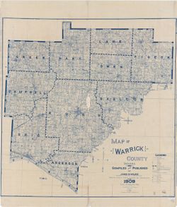
Map of Warrick County Indiana
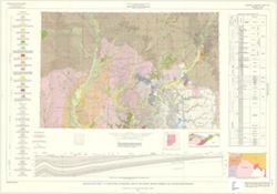
Geologic map of the 1° x 2° Indianapolis quadrangle, Indiana and Illinois, sho...
Highway map of Indiana
Scarborough's map of Indiana, showing counties, townships, congressional townships...
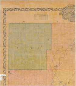
Maps of Greencastle and Putnam County Indiana
Maps of Northeast California
Northern Minnesota, Wisconsin, Michigan
Map of Fox and Ouisconsin Rivers
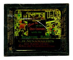
C.W. Nunamaker's Big Radio Store, Sparton Radio
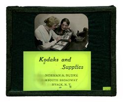
Kodaks and Supplies, Norman A. Burke, 34 South Broadway, NYACK, N.Y.
Ace of Cactus Range
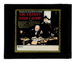
Flesh & Blood
Gathering rock for the Selega road
Looking down on British Orient ORSOVA from Golden Gate bridge Cushman
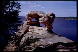
Devil's Anvil at Head of Wisconsin Dells
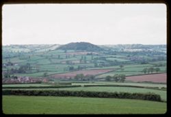
Devon hills east of Sidforth
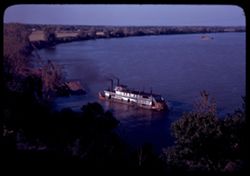
The Sanco approaches wharf at Rockport, Ind.
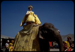
Ringling Circus
along Calif 16 near Michigan Bar eastern Sacramento county
Glenwood canyon of Colorado river east of Glenwood Springs, Colorado
Toward Bolinas from west shoulder of Mt Tamalpais
San Francisco Sunday morning St. Francis Yacht Harbor
St. Mark's Venice O & S
Anise Magnolia M. Salicifolia Arb. E. Cushman
3154 South Park Way
55th St. Pomontory
Ringling Circus Pageant
Farm
« Previous
Next »
1
2
3
4
5
…
708
709
Toggle facets
Limit your search
Type
Image
[remove]
70,870
Creator
Cushman, Charles W., 1896-1972
14,432
Agency: Orphan Work
3,090
Montgomery, Pauline
2,265
William C. Siegmann
1,021
Not recorded
851
Photographer: [Indiana University, Bloomington. Black Film Center/Archive?]
609
Willie A. Whitten
584
Cruz-Uribe, Eugene David
559
Photographer: Vincent, Quasie T.
507
Fleming, Malcolm L.
460
more
Creators
»
Contributor
Bindloss, Harold
3
DeGrazia, Ted
3
Grey, Zane
3
Chase, Mary Ellen
2
Deming, Edwin W.
2
Haley, J. Evetts
2
Willsie, Honoré
2
Borein, Edward
1
Bowden, J.J.
1
Bower, B.M.
1
more
Contributors
»
Subject
Trees
7,158
Men
5,390
Women
4,593
Topical Subject: Maps
4,120
Topical Subject: Soviet Union
4,114
Photographs
3,646
Shrubs
3,628
Mountains
3,515
African Americans
3,503
Buildings
3,075
more
Subjects
»
Language
Russian
4,114
English
2,132
French
1,201
German
466
Japanese
52
Spanish
31
Latin
17
Italian
11
Arabic
8
France
8
more
Languages
»
Publisher
Генеральный штаб Красной Армии
1,416
Генеральный штаб РККА
1,000
Управление военных топографов
460
Управление военных топографов РККА
458
Indiana. Department of Geology and Natural Resources
196
Главное управление геодезии и картографии при СНК СССР
189
Военно-топографическое управление
184
Geological Survey (U.S.)
159
Главное Управление Геодезии и Картографии при СНК СССР
127
Indiana. Geological Survey
77
more
Publishers
»
Date Created
1941
1,108
1950
924
1940
834
circa 1950-1960
535
1952
517
2015
501
1960
461
1930
371
1925
333
1926
298
more
Date Createds
»
Pages
0-99 pages
70,870
Collections
Charles W. Cushman Kodachrome Slides
14,421
Frank M. Hohenberger Photograph Collection
9,142
Building a Nation - Indiana Limestone Photograph Collection
5,977
William V. S. Tubman Photograph Collection
5,555
Russian Military Topographic Map Collection
4,114
Roy W. Howard Photograph Collection
3,809
Lilly Library Image Collections
2,765
Black Film Center & Archive General Collection
2,715
Pauline Montgomery Indiana Tombstone Photographs
2,265
Josef Gugler African and Middle Eastern Film Collection
2,219
more
Collections
»
State
deposited
[remove]
70,870
Campus
IU Bloomington
66,582
IU East
1,662
835
IU Northwest
381
IU South Bend
318
IU Kokomo
203
IU Indianapolis
60
Frame Number
16
487
9
487
11
485
14
483
15
483
8
483
19
482
10
481
3
481
17
480
more
Frame Numbers
»
County
Vanderburgh
1,877
San Francisco
1,733
Cook
1,299
Du Page
1,049
Montserrado
534
Inyo
345
Lofa County
301
Marin
301
Greater London
283
Pima
281
more
Counties
»
Time Period
2016
96
2020
83
2018
80
2015
71
2013
48
2017
40
2014-2015
25
2009
21
2008
19
2011
19
more
Time Periods
»
City
Chicago
2,094
San Francisco
1,744
Richmond
1,080
Wheaton
956
New York
922
Monrovia
713
Bloomington
519
Aswan (Philae Island)
502
Washington DC
451
Indianapolis
427
more
Cities
»
Country
United States
22,060
Liberia
3,968
СССР (USSR)
2,743
France
1,465
Germany
910
United Kingdom
839
Italy
717
Egypt
661
Austria
647
United States of America
587
more
Countries
»
Publication Place
Frederick A. Stokes, New York, NY
5
Grosset & Dunlap, New York, NY
5
3
A.L. Burt, New York, NY
3
Houghton Mifflin, Boston, MA
3
F.A. Stokes, New York, NY
2
Harper & Brothers, New York, NY
2
Little, Brown, Boston, MA
2
Page, Boston, MA
2
Stokes, New York, NY
2
more
Publication Places
»
Provenance
DMA Topographic Center, Army Map Service Library, OMAHA, Library of Congress Geography & Map Division
895
DMA Topographic Center, Army Map Service Library, OMAHA
414
Army Map Service Library, OMAHA, Library of Congress Geography & Map Division
351
DMA Topographic Center, Army Map Service Library, Library of Congress Geography & Map Division
271
DMA Topographic Center, Army Map Service Library
221
M. I. Map Library
179
CIA Map Library
172
CIA Map Branch -- Received
148
Part of Geological Survey (U.S.). Indiana 1:62,500.
119
M. I. Map Library, G000-30, GS, RA
115
more
Provenances
»
Holding Location
B-ARCHIVES
17,159
B-LILLY
9,941
B-WELLS
8,201
B-IGWS
5,977
B-BFCA
4,001
B-MEDIASCHOOL
3,809
B-MPP
3,183
B-IUMAA
2,477
EAST
1,605
B-WYLIEHOUSE
979
more
Holding Locations
»
State/Province
Indiana
7,226
California
5,152
Illinois
2,553
РСФСР (RSFSR)
1,379
IL
1,164
NY
1,085
Arizona
962
IN
646
Белорусская ССР (Byelorussian Soviet Socialist Republic)
595
MI
591
more
State/Provinces
»
Series
Groups
2,215
5x7
2,007
3x4
1,346
4x5
1,198
I.U. Negatives
432
8x10
395
3x5
277
Winter
269
Brown County Color transparencies
253
Mexico Trip, 1939-1940
252
more
Series
»