

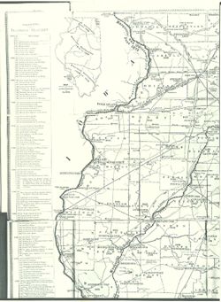
![Bloomington, [Indiana] metropolitan map series](https://iiif.uits.iu.edu/iiif/2/vd66x2473%2Ffiles%2F73a8eae4-4788-4585-b937-b6e45ec91e24/full/250,/0/default.jpg)
![Map of the City of Indianapolis and its suburbs [map]](https://iiif.uits.iu.edu/iiif/2/v692v943f%2Ffiles%2Fcb6898c0-54f1-4245-b5e2-96cd8bf1b867/full/250,/0/default.jpg)
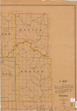
![[Bloomington, Indiana, cadastral map]](https://iiif.uits.iu.edu/iiif/2/0r9686792%2Ffiles%2F47529974-267a-4ca2-bcce-8ead7355fbf3/full/250,/0/default.jpg)
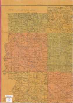
![Marion County, Indiana [map] : [aerial photographs, 1 inch=100 feet]](https://iiif.uits.iu.edu/iiif/2/8g84np70q%2Ffiles%2F87c92dbf-3c08-4afb-9aa5-654d83642274/full/250,/0/default.jpg)


Limit your search
- Cushman, Charles W., 1896-197214,436
- Montgomery, Pauline2,265
- Photographer: [Indiana University, Bloomington. Black Film Center/Archive?]609
- Cruz-Uribe, Eugene David559
- Fleming, Malcolm L.460
- Anton T. Boisen364
- Creator: Clark, Gracia298
- Photographer: Gracia Clark265
- Donor: McFarland & Company, Inc. Publishers179
- Feingold, Richard178
- more Creators »
- Trees6,616
- Men5,364
- Women4,437
- Topical Subject: Soviet Union4,131
- Topical Subject: Maps4,129
- Photographs3,646
- Shrubs3,620
- African Americans3,439
- Mountains3,416
- Buildings2,988
- more Subjects »
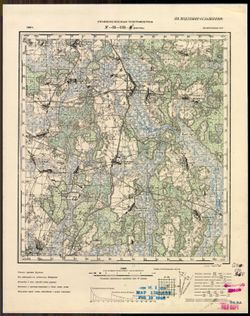
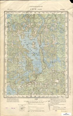
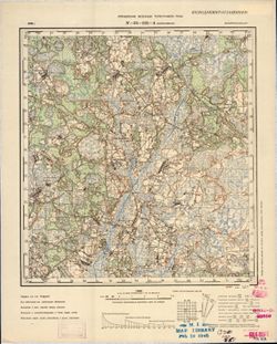
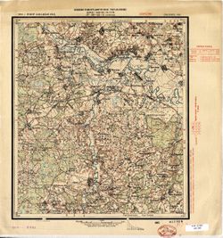
- Генеральный штаб Красной Армии1,420
- Генеральный штаб РККА1,000
- Управление военных топографов465
- Управление военных топографов РККА462
- Indiana. Department of Geology and Natural Resources196
- Главное управление геодезии и картографии при СНК СССР189
- Военно-топографическое управление186
- Geological Survey (U.S.)159
- Главное Управление Геодезии и Картографии при СНК СССР127
- Indiana. Geological Survey77
- more Publishers »
- 0-99 pages45,542
- Charles W. Cushman Kodachrome Slides14,425
- Frank M. Hohenberger Photograph Collection5,122
- Russian Military Topographic Map Collection4,131
- Roy W. Howard Photograph Collection3,809
- Black Film Center & Archive General Collection2,715
- Glenn A. Black Laboratory of Archaeology Photographs2,616
- Pauline Montgomery Indiana Tombstone Photographs2,265
- Josef Gugler African and Middle Eastern Film Collection2,222
- Black Filmmakers Hall of Fame Photograph Collection1,286
- Indiana Historic Maps1,237
- more Collections »
- Vanderburgh1,932
- San Francisco1,733
- Cook1,299
- Du Page1,049
- Inyo345
- Marin301
- Greater London282
- Pima281
- Attica217
- Mariposa190
- Groups2,215
- 5x71,948
- 3x41,347
- 4x51,198
- 3x5277
- 5x7 Copies188
- 8x1077
- GLOVE - Local and Regional Maps73
- Buildings & Grounds48
- 1-5240
- San Francisco1,741
- Chicago1,259
- Wheaton955
- Aswan (Philae Island)502
- Bloomington351
- Oakland291
- London284
- Indianapolis238
- Kumasi217
- Athens208
- United States20,956
- СССР (USSR)2,760
- France1,351
- Germany856
- United Kingdom809
- Egypt659
- Austria609
- Greece401
- Italy390
- Ghana311
- B-ARCHIVES17,163
- B-WELLS8,218
- B-LILLY5,847
- B-BFCA4,001
- B-MEDIASCHOOL3,809
- B-IUMAA2,689
- B-WYLIEHOUSE979
- EAST502
- SBEND178
- KOKOMO133
- DMA Topographic Center, Army Map Service Library, OMAHA, Library of Congress Geography & Map Division904
- DMA Topographic Center, Army Map Service Library, OMAHA416
- Army Map Service Library, OMAHA, Library of Congress Geography & Map Division351
- DMA Topographic Center, Army Map Service Library, Library of Congress Geography & Map Division273
- DMA Topographic Center, Army Map Service Library221
- M. I. Map Library179
- CIA Map Library172
- CIA Map Branch -- Received148
- Part of Geological Survey (U.S.). Indiana 1:62,500.119
- M. I. Map Library, G000-30, GS, RA115